24 km | 32 km-effort
Boucle de Kernansquillec
runarlejou
User
Length
9.6 km
Max alt
131 m
Uphill gradient
209 m
Km-Effort
12.4 km
Min alt
76 m
Downhill gradient
208 m
Boucle
Yes
Creation date :
2021-04-17 12:46:08.732
Updated on :
2021-04-18 12:21:55.293
2h54
Difficulty : Medium
FREE GPS app for hiking
About
Trail Walking of 9.6 km to be discovered at Brittany, Côtes-d'Armor, Plounévez-Moëdec. This trail is proposed by runarlejou.
Positioning
Country:
France
Region :
Brittany
Department/Province :
Côtes-d'Armor
Municipality :
Plounévez-Moëdec
Location:
Unknown
Start:(Dec)
Start:(UTM)
469199 ; 5379543 (30U) N.
Comments
Trails nearby
Belle Isle en Terre - Le Dresnay
On foot
Difficult
Belle-Isle-en-Terre,
Brittany,
Côtes-d'Armor,
France
7h 10min
No
Boucle Plouaret à Maudez
Walking
Medium
Plouaret,
Brittany,
Côtes-d'Armor,
France
10.6 km | 12.2 km-effort
3h 0min
Yes
Circuit de Trégrom (16 km)
Walking
Difficult
Trégrom,
Brittany,
Côtes-d'Armor,
France
16.5 km | 21 km-effort
4h 10min
Yes
Loc Ivy St Carré - Plouaret
Walking
Difficult
Plouaret,
Brittany,
Côtes-d'Armor,
France
15.2 km | 18 km-effort
3h 49min
Yes
Trégrom : 10 km
Walking
Medium
Trégrom,
Brittany,
Côtes-d'Armor,
France
10.6 km | 13.1 km-effort
2h 40min
Yes
Vallée Kernansquillec
Walking
Medium
Plounévez-Moëdec,
Brittany,
Côtes-d'Armor,
France
8.3 km | 10.8 km-effort
2h 33min
Yes
2022-04-02_21h02m08_SityTrail - 2869320 - le-dresnayx21072021
On foot
Medium
Belle-Isle-en-Terre,
Brittany,
Côtes-d'Armor,
France
24 km | 31 km-effort
7h 0min
No
Trégrom, viaduc et moulin. Bataille du rail
Walking
Medium
Trégrom,
Brittany,
Côtes-d'Armor,
France
5 km | 6.3 km-effort
1h 23min
Yes
Autour de Plouaret
Walking
Easy
(1)
Plouaret,
Brittany,
Côtes-d'Armor,
France
4.7 km | 5.3 km-effort
1h 15min
Yes
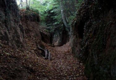
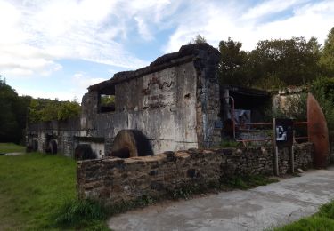
très belle randonnée dans la vallée du Léguer recouverte pendant une bonne centaine d'années par le lac du barrage hydroélectrique de l'usine à papier Vallée.