


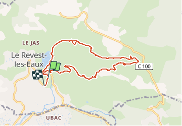


11.8 km | 19.3 km-effort

User


FREE GPS app for hiking
 SityTrail
IGN / Geographical institutes
SityTrail World
The world is yours!
Trail Walking of 10 km to be discovered at Provence-Alpes-Côte d'Azur, Var, Le Revest-les-Eaux. This trail is proposed by cousam.
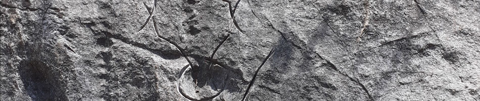
Boucle sympa, passant par les ruines les Olivières ,la carrière des fourmis (nombreuses gravures) la grotte au sable ,et retour par le Mt Combe.


32 photos in total. Please click on a photo to see them all in the gallery.

Walking

Walking

Walking

Walking

Walking

Walking

Walking

Walking

Walking