


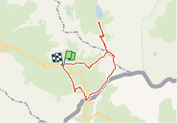


13.1 km | 23 km-effort

User


FREE GPS app for hiking
 SityTrail
IGN / Geographical institutes
SityTrail World
The world is yours!
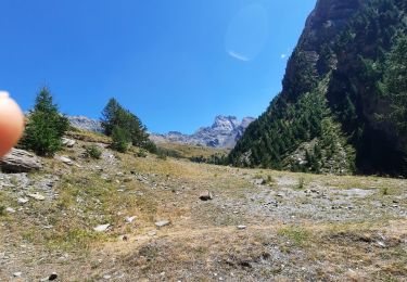
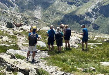
Trail Walking of 8.2 km to be discovered at Provence-Alpes-Côte d'Azur, Hautes-Alpes, Molines-en-Queyras. This trail is proposed by Hugues Michel.
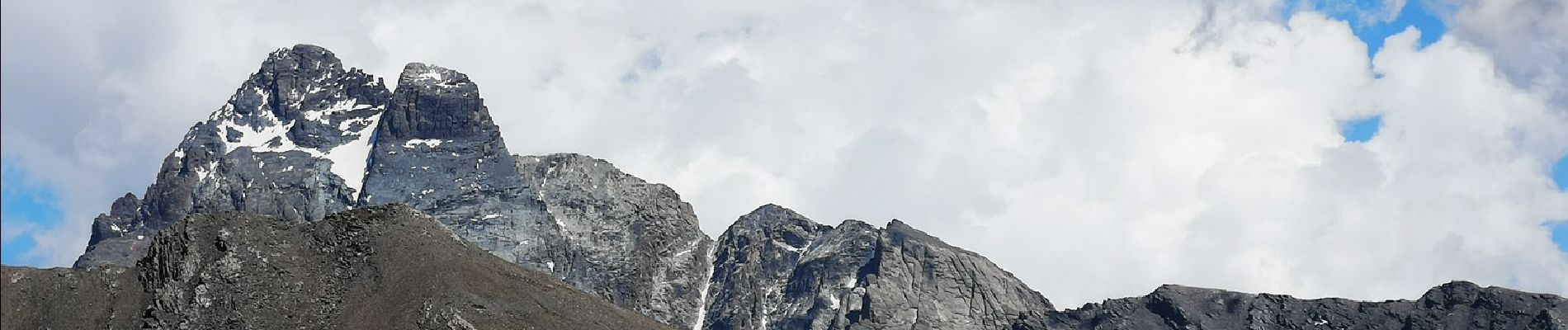
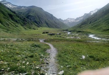
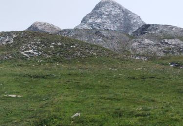
Superbe boucle au départ du refuge Agnel, jusqu'au col Vieux, puis descente vers le lac Foréant, remontée en direction du pain de Sucre (3208m), retour par le col Agnel, avec vue sur l'Italie et le mont Viso.


Walking
Walking

Walking

Walking

Walking

Walking
Walking
Walking
Walking