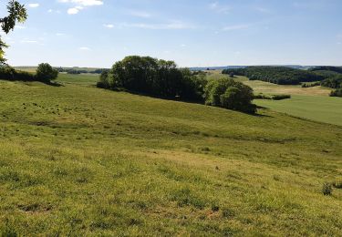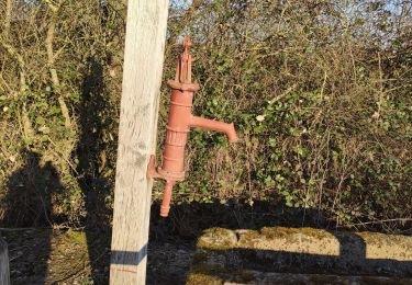

aire de pique nique Haraucourt 15 km

Ajul
User

Length
13.7 km

Max alt
340 m

Uphill gradient
305 m

Km-Effort
17.8 km

Min alt
222 m

Downhill gradient
312 m
Boucle
Yes
Creation date :
2021-04-17 17:56:16.91
Updated on :
2021-04-17 18:42:35.917
--
Difficulty : Medium

FREE GPS app for hiking
About
Trail Nordic walking of 13.7 km to be discovered at Grand Est, Moselle, Hampont. This trail is proposed by Ajul.
Description
pour les randonneurs en immersions dans la Nature loin de l'agitation superficielle. l'accès au majestueux chêne du Roi est hors sentier.
belle randonnée par temps sec par monts et par vaux. Alain
Positioning
Country:
France
Region :
Grand Est
Department/Province :
Moselle
Municipality :
Hampont
Location:
Unknown
Start:(Dec)
Start:(UTM)
322929 ; 5409266 (32U) N.
Comments
Trails nearby

les hauts de Sain-Jean


Walking
Very easy
(1)
Moyenvic,
Grand Est,
Moselle,
France

7.2 km | 9.1 km-effort
2h 0min
Yes

marche de Saint Medard


Walking
Easy
Saint-Médard,
Grand Est,
Moselle,
France

10.9 km | 13.2 km-effort
3h 53min
Yes

sortie 4 5


Walking
Difficult
Moyenvic,
Grand Est,
Moselle,
France

11.2 km | 12.5 km-effort
1h 57min
Yes

boucle départ moyenvic


Walking
Very difficult
Moyenvic,
Grand Est,
Moselle,
France

27 km | 33 km-effort
5h 22min
Yes

vic moyenvic par stade


Walking
Easy
Vic-sur-Seille,
Grand Est,
Moselle,
France

4.2 km | 4.8 km-effort
54min
No

Moyenvic vic boucle


Walking
Medium
Moyenvic,
Grand Est,
Moselle,
France

14.8 km | 18.5 km-effort
3h 24min
Yes

sortie du 20923


Walking
Medium
Moyenvic,
Grand Est,
Moselle,
France

14.7 km | 17 km-effort
3h 24min
Yes

Haraucourt sur seille


Walking
Medium
Haraucourt-sur-Seille,
Grand Est,
Moselle,
France

13.4 km | 16.5 km-effort
3h 57min
Yes

Vic sur Seille


Walking
Difficult
Vic-sur-Seille,
Grand Est,
Moselle,
France

14.9 km | 18.3 km-effort
3h 0min
Yes


 SityTrail


