


11.8 km | 16.1 km-effort


User


FREE GPS app for hiking
 SityTrail
IGN / Geographical institutes
SityTrail World
The world is yours!
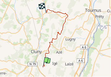
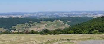
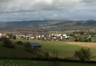
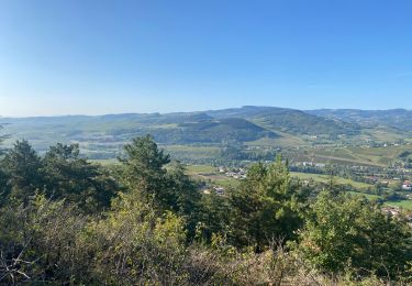
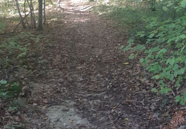
Trail Horseback riding of 38 km to be discovered at Bourgogne-Franche-Comté, Saône-et-Loire, Berzé-le-Châtel. This trail is proposed by lagrange71.
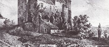
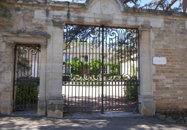
-Berze-
-Donzy le Pertuis
-Notre-Dame des Roches
- Blanot
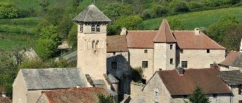
-Brancion
- Chapelle sous Brancion
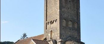
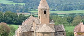
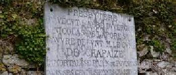
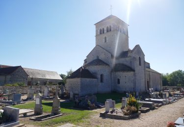
-Chapaize
- Uxelles


Walking

On foot

sport
Walking

Walking
Electric bike
Electric bike
Walking
Walking