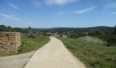

BOUTENAC - La boucle des terroirs

Licianus2
User

Length
10 km

Max alt
270 m

Uphill gradient
250 m

Km-Effort
13.4 km

Min alt
87 m

Downhill gradient
249 m
Boucle
Yes
Creation date :
2021-04-14 12:13:28.844
Updated on :
2021-04-21 15:38:42.321
2h22
Difficulty : Medium

FREE GPS app for hiking
About
Trail Walking of 10 km to be discovered at Occitania, Aude, Boutenac. This trail is proposed by Licianus2.
Description
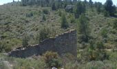
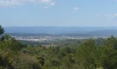
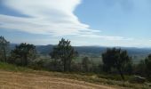
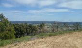
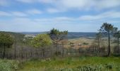
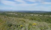
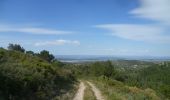
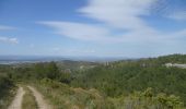
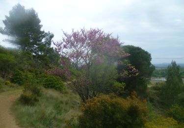
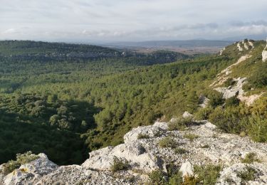
Beaucoup de pistes caillouteuses. Départ piste cimentée puis départementale sur 1km. Montée jusqu’à la vigie sur 4,5km puis redescente par piste caillouteuse. Belle panoramique cependant, un peu sportive. Pas trop d’ombre et exposée au vent du nord.
Positioning
Country:
France
Region :
Occitania
Department/Province :
Aude
Municipality :
Boutenac
Location:
Unknown
Start:(Dec)
Start:(UTM)
483045 ; 4777238 (31T) N.
Comments
Trails nearby
cirque de Viviès Chantal


Walking
Medium
Thézan-des-Corbières,
Occitania,
Aude,
France

19.9 km | 27 km-effort
6h 6min
Yes

Thezan Cirque de Vivies


Walking
Very difficult
(1)
Thézan-des-Corbières,
Occitania,
Aude,
France

20 km | 27 km-effort
6h 5min
Yes

François et Nathalie 1


Walking
Medium
(1)
Fabrezan,
Occitania,
Aude,
France

7.8 km | 10.1 km-effort
2h 11min
Yes

ACAD - TBG - Saint-Andre-de-Roquelongue reco 23 octobre


Walking
Very difficult
Saint-André-de-Roquelongue,
Occitania,
Aude,
France

19 km | 25 km-effort
5h 34min
Yes
VILLEROUGE LA CREMADE - Le Grangeot


Walking
Medium
Fabrezan,
Occitania,
Aude,
France

8.1 km | 10.4 km-effort
1h 53min
Yes
BOUTENAC - Circuit des combes par la chapelle St Siméon


Walking
Medium
(3)
Boutenac,
Occitania,
Aude,
France

7 km | 9.5 km-effort
1h 39min
Yes
ORNAISONS - D'Orbieu en Pech


Walking
Easy
(1)
Ornaisons,
Occitania,
Aude,
France

8.8 km | 11 km-effort
2h 4min
Yes
Cirque Viviès plateau Poursan


Walking
Medium
Thézan-des-Corbières,
Occitania,
Aude,
France

19.9 km | 27 km-effort
4h 23min
Yes
LUC SUR ORBIEU - la Roche trouée


Walking
Very easy
Luc-sur-Orbieu,
Occitania,
Aude,
France

6.8 km | 8.6 km-effort
1h 33min
Yes


 SityTrail


