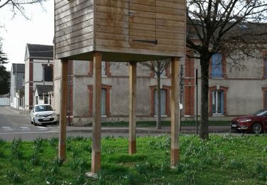
23 km | 24 km-effort
Vkllechetif
francis1952
User
Length
12.1 km
Max alt
118 m
Uphill gradient
90 m
Km-Effort
13.4 km
Min alt
102 m
Downhill gradient
91 m
Boucle
Yes
Creation date :
2021-04-14 11:34:47.54
Updated on :
2021-04-14 14:53:18.383
3h17
Difficulty : Easy
FREE GPS app for hiking
About
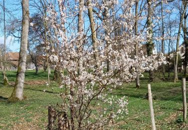
Trail Walking of 12.1 km to be discovered at Grand Est, Aube, Villechétif. This trail is proposed by francis1952.
Positioning
Country:
France
Region :
Grand Est
Department/Province :
Aube
Municipality :
Villechétif
Location:
Unknown
Start:(Dec)
Start:(UTM)
584904 ; 5351410 (31U) N.
Comments
Trails nearby
Troyes les 10 églises le 16/02/2020
Walking
Easy
Troyes,
Grand Est,
Aube,
France
12.5 km | 13.6 km-effort
2h 42min
Yes
sortie velo
Road bike
Very difficult
Villechétif,
Grand Est,
Aube,
France
70 km | 78 km-effort
3h 14min
Yes
saint pares
Walking
Very difficult
Saint-Parres-aux-Tertres,
Grand Est,
Aube,
France
23 km | 25 km-effort
5h 38min
Yes
Rouilly-Saint-Loup /Intermarcher
Walking
Very easy
Rouilly-Saint-Loup,
Grand Est,
Aube,
France
9.4 km | 10.1 km-effort
1h 58min
Yes
moi
Walking
Very easy
Saint-Julien-les-Villas,
Grand Est,
Aube,
France
14.1 km | 15 km-effort
2h 57min
No
Rouilly et Rouilly-Saint-Loup
Walking
Very easy
Rouilly-Saint-Loup,
Grand Est,
Aube,
France
9.1 km | 9.9 km-effort
1h 16min
Yes