Trail Walking Orelle - parking edf vers Bissorte arrêt les Cartillères - Photo

parking edf vers Bissorte arrêt les Cartillères

 yves12
yves12

User

© OpenStreetMap contributors
Length
Length
13.3 km
Max alt
Max alt
1871 m
Uphill gradient
Uphill gradient
908 m
Km-Effort
Km-Effort  
25 km
Min alt
Min alt
1070 m
Downhill gradient
Downhill gradient
905 m
Boucle
Boucle
Yes
Creation date :
2021-04-13 09:29:36.0
Updated on :
2021-04-13 17:10:26.562

(0 Reviews)

Walking
Walking
6h22
Difficulty : Difficult

Scan this QR Code to open this trail in the SityTrail application

FREE GPS app for hiking

Logo SityTrail SityTrail
IGN / Geographical institutes

Download SityTrail from the App Store Download SityTrail from Google Play

Logo SityTrail SityTrail World
The world is yours!

Download SityTrail from the App Store Download SityTrail from Google Play Download SityTrail on Huawei AppGallery

About

Trail Walking of 13.3 km to be discovered at Auvergne-Rhône-Alpes, Savoy, Orelle. This trail is proposed by yves12.

Description

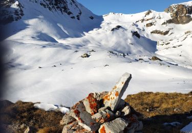
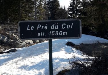
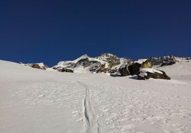
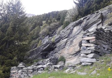
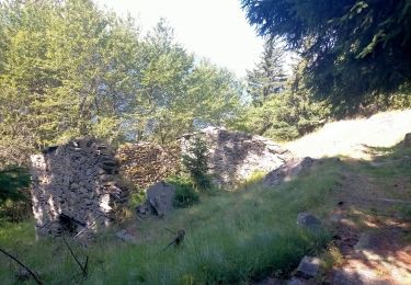
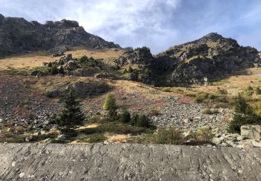
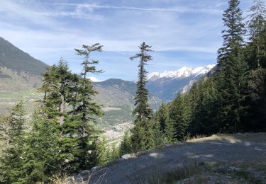
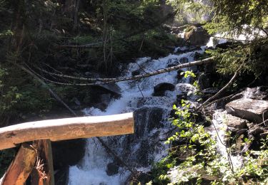
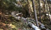
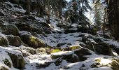
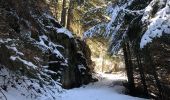
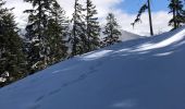
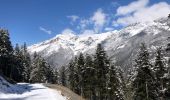
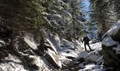
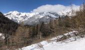
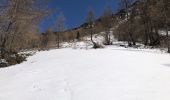
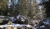
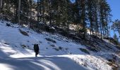
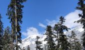
Il a refait pas mal de neige sur les hauteurs en ce mois d'avril 2021 et le sentier qui monte aux Prec est assez dangereux à cause de la neige fraîche qui s'est posé sur de la glace. Donc privilégier la route forestière t'en que la neige n'a pas fondue.On a fait une partie en chaussure puis en raquette. On est pas monté jusqu'au barrage de Bissorte à cause de la glace sous la neige, nous n'avons pas voulu prendre de risques inconsidérés !
Si non de Super points de Vue et des Chamois.......

Elevation profile

Photos

Positioning

Country:
France
Region :
Auvergne-Rhône-Alpes
Department/Province :
Savoy
Municipality :
Orelle
Location:
Unknown
Start:(UTM)
309791 ; 5008356 (32T) N.

Trails nearby

Trail Touring skiing Saint-André - Tête noire en boucle - Photo
Touring skiing
GUIDE
nadd73

Touring skiing

Medium
Saint-André, Auvergne-Rhône-Alpes, Savoy, France
26 km | 51 km-effort
8h 8min
Yes
Trail Snowshoes Saint-André - l Orgere  - Photo
Snowshoes
GUIDE
GEGERANDO17

Snowshoes

Easy
Saint-André, Auvergne-Rhône-Alpes, Savoy, France
11.7 km | 18.8 km-effort
5h 14min
Yes
Trail Touring skiing Saint-André - col de chavière - Photo
Touring skiing
GUIDE
nadd73

Touring skiing

Medium
Saint-André, Auvergne-Rhône-Alpes, Savoy, France
21 km | 39 km-effort
5h 45min
Yes
Trail Walking Saint-André - St André -Le Col - Le Villard et retour  - Photo
Walking
erjot60

Walking

Medium
Saint-André, Auvergne-Rhône-Alpes, Savoy, France
6.6 km | 11.8 km-effort
3h 32min
Yes
Trail Walking Saint-André - Pralognan - Plan du Clos - Photo
Walking
yves12

Walking

Difficult
Saint-André, Auvergne-Rhône-Alpes, Savoy, France
9.6 km | 23 km-effort
4h 24min
Yes
Trail Walking Orelle - 73 Maurienne Francoz Bonvillard Turraz Plan Py ND des Neiges Rochecombe - Photo
Walking
Maryma

Walking

Very difficult
Orelle, Auvergne-Rhône-Alpes, Savoy, France
14.6 km | 32 km-effort
7h 22min
Yes
Trail Walking Orelle - Col de Rosuel - Photo
Walking
yves12

Walking

Medium
Orelle, Auvergne-Rhône-Alpes, Savoy, France
12.8 km | 26 km-effort
4h 12min
Yes
Trail Walking Orelle - Direction Bissorte  - Photo
Walking
yves12

Walking

Medium
Orelle, Auvergne-Rhône-Alpes, Savoy, France
12.5 km | 24 km-effort
5h 7min
Yes
Trail Walking Freney - Le Freney- Bonne nuit - Lac de Bissorte - Bissortette - Photo
Walking
yves12

Walking

Very difficult
Freney, Auvergne-Rhône-Alpes, Savoy, France
21 km | 41 km-effort
9h 5min
Yes


Close
My subscriptions