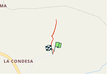

14.3 km | 19.1 km-effort

User


FREE GPS app for hiking
 SityTrail
IGN / Geographical institutes
SityTrail World
The world is yours!
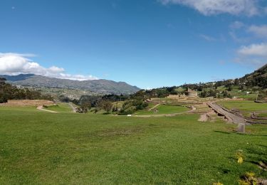
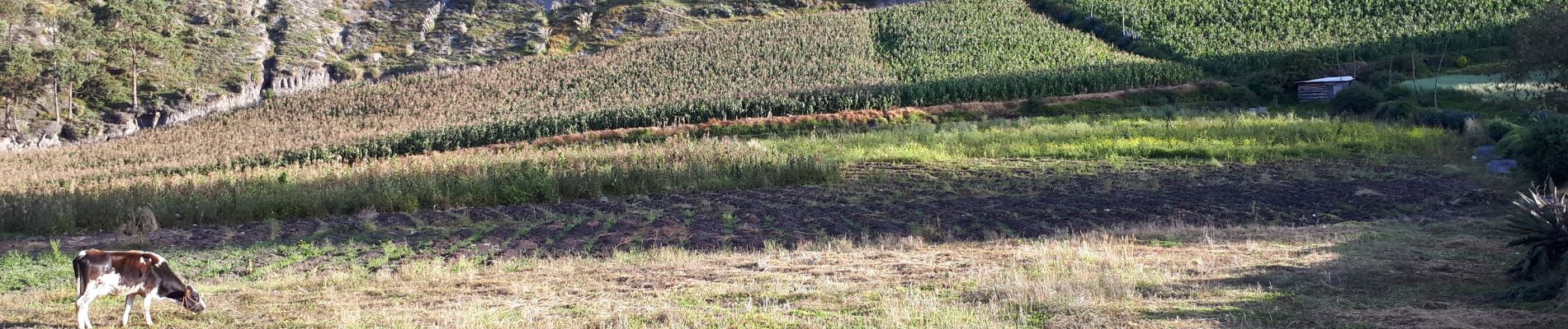
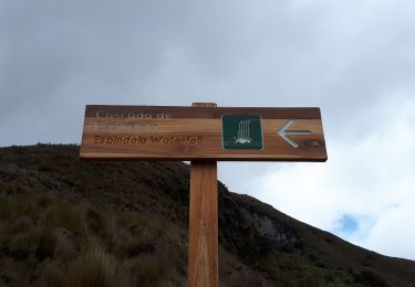
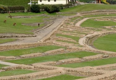
Trail Walking of 627 m to be discovered at Cañar, El Tambo, El Tambo. This trail is proposed by gildascb.


Horseback riding
Walking