


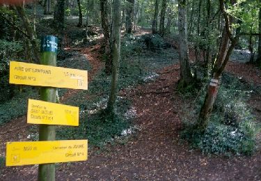
11.8 km | 15.4 km-effort


User


FREE GPS app for hiking
 SityTrail
IGN / Geographical institutes
SityTrail World
The world is yours!
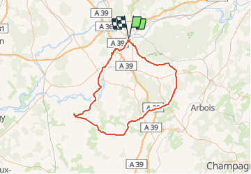
Trail Cycle of 106 km to be discovered at Bourgogne-Franche-Comté, Jura, Dole. This trail is proposed by albert39.
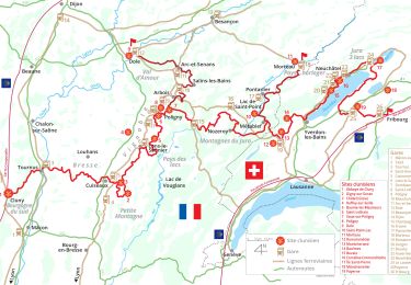
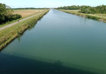
Superbe après midi ensoleillée, départ Dole, Montbarrey, Ounans, la Ferté, Aumont, Champrougier, Chaumergy (variante à faire Beauvernois, on gagne 0,5 km), Bellevesvre, Pierre de Bresse (pose et casse croûte au château), retour par Authumes et Neublans, Longwy, Peseux, Champdivers et la route habituelle Tavaux et canal.

Walking
Walking
Road bike
Walking
Walking
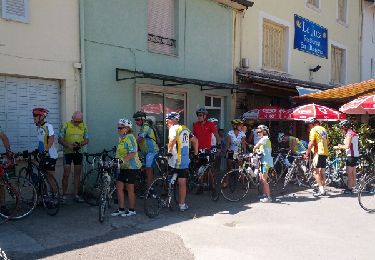
Cycle
Nordic walking