


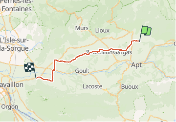

51 km | 61 km-effort

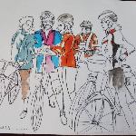
Des nanas en roue libre


FREE GPS app for hiking
 SityTrail
IGN / Geographical institutes
SityTrail World
The world is yours!
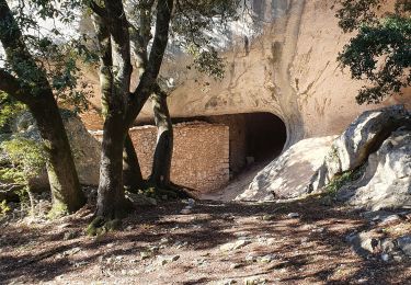
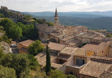
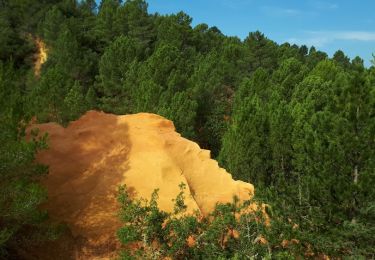
Trail Electric bike of 34 km to be discovered at Provence-Alpes-Côte d'Azur, Vaucluse, Villars. This trail is proposed by nanacyclettes.
retour voiture
Cycle

Walking
Walking
Walking
Walking
Walking
Walking
Walking

Walking