9.4 km | 14.9 km-effort
Trace des jésuites
Vincent Galva
User
Length
4.6 km
Max alt
670 m
Uphill gradient
382 m
Km-Effort
9.3 km
Min alt
316 m
Downhill gradient
273 m
Boucle
No
Creation date :
2021-04-06 20:16:53.279
Updated on :
2021-04-07 01:17:20.397
5h30
Difficulty : Medium
FREE GPS app for hiking
About
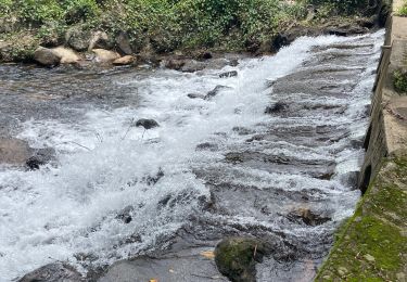
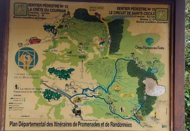
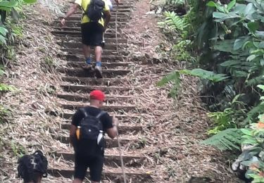
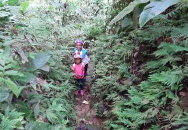
Trail Walking of 4.6 km to be discovered at Martinique, Unknown, Le Morne-Rouge. This trail is proposed by Vincent Galva.
Positioning
Country:
France
Region :
Martinique
Department/Province :
Unknown
Municipality :
Le Morne-Rouge
Location:
Unknown
Start:(Dec)
Start:(UTM)
704488 ; 1630347 (20P) N.
Comments
Trails nearby
Fonds saint Denis (Martinique)
Walking
Easy
(1)
Fonds-Saint-Denis,
Martinique,
Unknown,
France
8.2 km | 13.7 km-effort
3h 28min
Yes
Morne la Caillerie, Trace des Jésuites
Walking
Easy
Le Morne-Rouge,
Martinique,
Unknown,
France
11.2 km | 18.2 km-effort
3h 55min
Yes
Fonds st Denis
Walking
Difficult
Fonds-Saint-Denis,
Martinique,
Unknown,
France
10 km | 15.2 km-effort
3h 11min
Yes
Crête du Cournan boucle
Walking
Medium
Le Morne-Rouge,
Martinique,
Unknown,
France
4.2 km | 8.2 km-effort
2h 15min
Yes
Trace des Jésuites
Walking
Medium
Le Morne-Rouge,
Martinique,
Unknown,
France
5.2 km | 8.8 km-effort
2h 5min
Yes
Trace Ti Jadin
Walking
Very easy
Le Morne-Vert,
Martinique,
Unknown,
France
3.3 km | 5.2 km-effort
2h 11min
Yes
Sainte Cécile/crête du Cournan/Beauvallon
sport
Very easy
(1)
Le Morne-Rouge,
Martinique,
Unknown,
France
7.2 km | 11 km-effort
Unknown
Yes
Morne vert
sport
Very easy
Le Morne-Vert,
Martinique,
Unknown,
France
3.2 km | 4.5 km-effort
Unknown
No