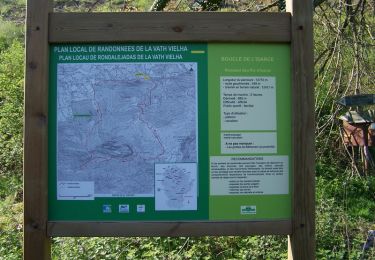
11.3 km | 26 km-effort
pas de broc
Yann Grmd
User
Length
6.6 km
Max alt
1357 m
Uphill gradient
986 m
Km-Effort
16.6 km
Min alt
372 m
Downhill gradient
45 m
Boucle
No
Creation date :
2021-04-05 09:34:31.714
Updated on :
2021-04-05 12:57:18.143
3h17
Difficulty : Medium
FREE GPS app for hiking
About
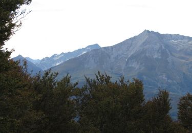
Trail Walking of 6.6 km to be discovered at New Aquitaine, Pyrénées-Atlantiques, Arthez-d'Asson. This trail is proposed by Yann Grmd.
Positioning
Country:
France
Region :
New Aquitaine
Department/Province :
Pyrénées-Atlantiques
Municipality :
Arthez-d'Asson
Location:
Unknown
Start:(Dec)
Start:(UTM)
723669 ; 4772835 (30T) N.
Comments
Trails nearby
Le Pic du Monbula - Arthez d'Asson
Walking
Difficult
Asson,
New Aquitaine,
Pyrénées-Atlantiques,
France
6h 30min
Yes
SityTrail - BETHARRAN lr tour du ceberi reco-fait-
On foot
Medium
(1)
Saint-Pé-de-Bigorre,
Occitania,
Hautespyrenees,
France
8 km | 14.9 km-effort
Unknown
Yes
Soum des Toupiettes - Grottes de Bétharram
Walking
Difficult
Saint-Pé-de-Bigorre,
Occitania,
Hautespyrenees,
France
14.6 km | 28 km-effort
4h 15min
No
Les toupiettes cabanne d’Isarce
Walking
Difficult
Asson,
New Aquitaine,
Pyrénées-Atlantiques,
France
12.5 km | 25 km-effort
3h 59min
Yes
ASSON Cabane de l'isarce G2A -857D+ 459/1313m
Walking
Difficult
Asson,
New Aquitaine,
Pyrénées-Atlantiques,
France
10.4 km | 22 km-effort
3h 45min
Yes
SityTrail - GR 78 - A Roger-Bauchy-Mitchell grott...
On foot
Medium
Asson,
New Aquitaine,
Pyrénées-Atlantiques,
France
16 km | 20 km-effort
Unknown
No
Plateau de l'Isarce
Walking
Difficult
Asson,
New Aquitaine,
Pyrénées-Atlantiques,
France
9.9 km | 21 km-effort
6h 6min
Yes
Trace Arthez Isou G3 Guy
sport
Very easy
Arthez-d'Asson,
New Aquitaine,
Pyrénées-Atlantiques,
France
10.5 km | 17.7 km-effort
Unknown
No
Col nana ils
sport
Very easy
Asson,
New Aquitaine,
Pyrénées-Atlantiques,
France
10.5 km | 19.9 km-effort
Unknown
Yes