


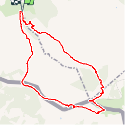

18.8 km | 27 km-effort

User


FREE GPS app for hiking
 SityTrail
IGN / Geographical institutes
SityTrail World
The world is yours!
Trail Walking of 11.8 km to be discovered at New Aquitaine, Pyrénées-Atlantiques, Ascain. This trail is proposed by Axelloceane.
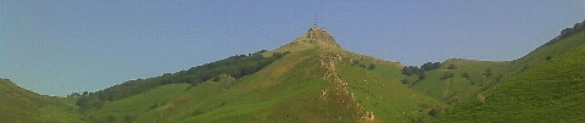
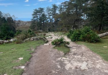
Départ du lieu dit Manttobaita en prenant le GR 10.Laisser le GR 10 sur votre gauche pour atteindre le sommet de La Rhune.Descente par le côté espagnole et ensuite en retrouve le GR 10 pour revenir au point de départ.


Walking

Walking

Walking

Walking

Walking

Mountain bike
Walking
Walking
Walking