


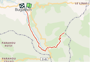

16.5 km | 28 km-effort


User


FREE GPS app for hiking
 SityTrail
IGN / Geographical institutes
SityTrail World
The world is yours!
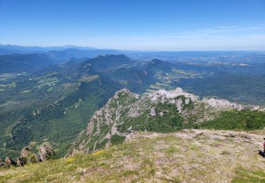
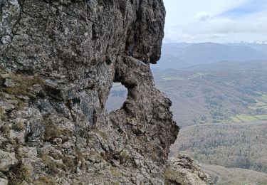
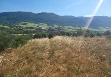
Trail Walking of 10.2 km to be discovered at Occitania, Aude, Bugarach. This trail is proposed by Maxime Dallaston.
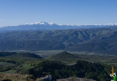
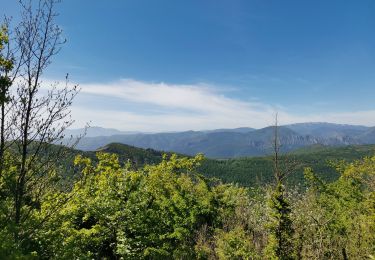
Montez le pic de Bugarach par la fenêtre. c'est très sportif ! 1000 mètres environ de dénivelé. départ depuis le parking dans le village, suivre le parcours jaune, prenez de l'eau et une veste pour en haut !

Walking
Walking
Walking
Walking
Walking
Walking
Walking
Walking
Walking