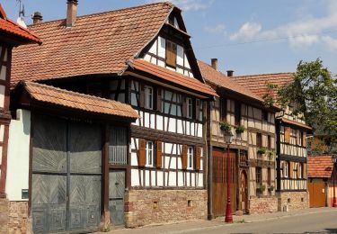
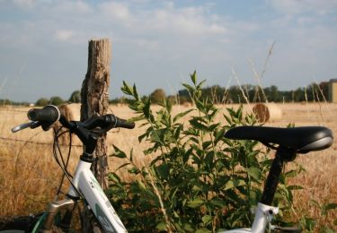
Trail Walking Blaesheim - Blaesheim tour de klokensbrg - Photo

Blaesheim tour de klokensbrg

 apa
apa

User

© OpenStreetMap contributors
Length
Length
10.4 km
Max alt
Max alt
196 m
Uphill gradient
Uphill gradient
101 m
Km-Effort
Km-Effort  
11.7 km
Min alt
Min alt
143 m
Downhill gradient
Downhill gradient
101 m
Boucle
Boucle
Yes
Creation date :
2021-04-03 05:54:00.722
Updated on :
2021-04-03 05:55:54.718

(0 Reviews)

Walking
Walking
2h39
Difficulty : Medium
Running
Running
--
Difficulty : Very easy

Scan this QR Code to open this trail in the SityTrail application

FREE GPS app for hiking

Logo SityTrail SityTrail

IGN / Geographical institutes

Download SityTrail from the App Store Download SityTrail from Google Play

Logo SityTrail SityTrail World

The world is yours!

Download SityTrail from the App Store Download SityTrail from Google Play Download SityTrail on Huawei AppGallery

About

Trail Walking of 10.4 km to be discovered at Grand Est, Bas-Rhin, Blaesheim. This trail is proposed by apa.

Elevation profile

Positioning

Country:
France
Region :
Grand Est
Department/Province :
Bas-Rhin
Municipality :
Blaesheim
Location:
Unknown
Start:(UTM)
398357 ; 5374181 (32U) N.

Trails nearby

Trail On foot Blaesheim - Parcours de Hattisheim - Photo
On foot
GUIDE+

On foot

Easy
Blaesheim, Grand Est, Bas-Rhin, France
13.2 km | 14.8 km-effort
3h 21min
Yes
Trail Walking Kolbsheim - canal de la Bruche Kolbsheim vers Strasbourg  - Photo
Walking
Mich&Agnès

Walking

Very easy
Kolbsheim, Grand Est, Bas-Rhin, France
9.7 km | 10.5 km-effort
1h 47min
Yes
Trail On foot Fegersheim - Tour de FEGERSHEIM OHNHEIM ESCHAU - Photo
On foot
GUIDE+

On foot

Easy
Fegersheim, Grand Est, Bas-Rhin, France
10.3 km | 11.3 km-effort
2h 34min
Yes
Trail Walking Innenheim - 2022-01-23-Le Gloeckelsberg et La Chapelle du Loup - Photo
Walking
milou1941

Walking

Easy
Innenheim, Grand Est, Bas-Rhin, France
6.9 km | 7.9 km-effort
3h 20min
Yes
Trail Mountain bike Hindisheim - Le Long des Canaux - Photo
Mountain bike
tracegps

Mountain bike

Difficult
(1)
Hindisheim, Grand Est, Bas-Rhin, France
23 km | 25 km-effort
2h 0min
Yes
Trail Mountain bike Hindisheim - Circuit du Sentier de la Chapelle - Photo
Mountain bike
tracegps

Mountain bike

Medium
Hindisheim, Grand Est, Bas-Rhin, France
11.7 km | 12.9 km-effort
45min
Yes
Trail Electric bike Fegersheim - xc 240411 kehl oksana - Photo
Electric bike
xc

Electric bike

Very easy
Fegersheim, Grand Est, Bas-Rhin, France
37 km | 41 km-effort
3h 26min
Yes
Trail Walking Hipsheim - Hipsheim - Photo
Walking
Jean-Pascal Sap

Walking

Medium
Hipsheim, Grand Est, Bas-Rhin, France
11 km | 12 km-effort
2h 36min
Yes
Trail Walking Fegersheim - xc 200722  environ fegersheim hipsheim eschau - Photo
Walking
xc

Walking

Very easy
Fegersheim, Grand Est, Bas-Rhin, France
10.7 km | 11.8 km-effort
2h 11min
Yes


Close
My subscriptions