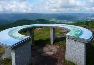
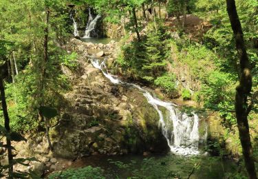
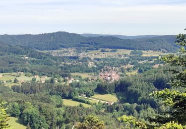
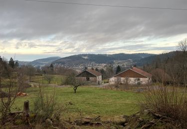
6.3 km | 8.9 km-effort
SENTIER DE LA ROCHE DU BLAIREAU
surceneux
User
Length
3.2 km
Max alt
812 m
Uphill gradient
136 m
Km-Effort
5.1 km
Min alt
670 m
Downhill gradient
140 m
Boucle
Yes
Creation date :
2021-03-31 13:49:33.521
Updated on :
2021-03-31 18:25:41.441
57m
Difficulty : Very easy
FREE GPS app for hiking
About
Trail Walking of 3.2 km to be discovered at Grand Est, Vosges, Le Tholy. This trail is proposed by surceneux.
Description
DEPART ECOLE BOUVACOTE
SUIVRE LE CERCLE BLEU
Positioning
Country:
France
Region :
Grand Est
Department/Province :
Vosges
Municipality :
Le Tholy
Location:
Unknown
Start:(Dec)
Start:(UTM)
332586 ; 5326861 (32U) N.
Comments
Trails nearby
La Cascade de la Pissoire
Walking
Easy
(3)
Sapois,
Grand Est,
Vosges,
France
6.3 km | 8.9 km-effort
1h 40min
Yes
2022-06-03 Rando CVA Le Tholy Gerbamont
Horseback riding
Very difficult
Le Tholy,
Grand Est,
Vosges,
France
28 km | 41 km-effort
6h 25min
No
2022-06-02 Rando CVA Le Tholy Tête des Cuveaux
Horseback riding
Difficult
Le Tholy,
Grand Est,
Vosges,
France
28 km | 40 km-effort
5h 19min
Yes
2022-06-01 Rando CVA Le Tholy Boucle Cascades du Tendon
Horseback riding
Difficult
Le Tholy,
Grand Est,
Vosges,
France
24 km | 34 km-effort
5h 16min
Yes
La grande cascade du Tendon au départ du Grand Caillou.
Walking
Difficult
Le Tholy,
Grand Est,
Vosges,
France
9 km | 12.2 km-effort
2h 46min
Yes
La roche des corbeaux, La Forge
Walking
Medium
La Forge,
Grand Est,
Vosges,
France
7.8 km | 11.2 km-effort
2h 33min
Yes
Le trou de l'enfer
Walking
Medium
Le Tholy,
Grand Est,
Vosges,
France
10.2 km | 14.2 km-effort
2h 48min
Yes