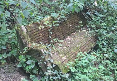
8.8 km | 12.9 km-effort
pic de labassere
petit-pied
User
Length
3.1 km
Max alt
1156 m
Uphill gradient
309 m
Km-Effort
7.2 km
Min alt
837 m
Downhill gradient
315 m
Boucle
Yes
Creation date :
2021-03-29 10:15:01.5
Updated on :
2021-03-31 18:07:50.605
1h00
Difficulty : Medium
FREE GPS app for hiking
About
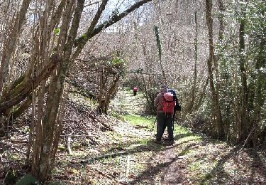
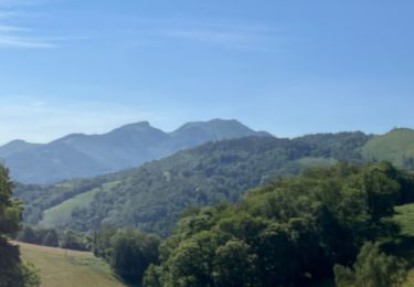
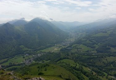
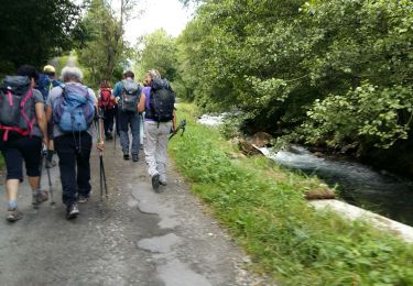
Trail Walking of 3.1 km to be discovered at Occitania, Hautespyrenees, Labassère. This trail is proposed by petit-pied.
Positioning
Country:
France
Region :
Occitania
Department/Province :
Hautespyrenees
Municipality :
Labassère
Location:
Unknown
Start:(Dec)
Start:(UTM)
262355 ; 4770479 (31T) N.
Comments
Trails nearby
LESPONNE entre torrents et cascades (G3) fait le 17 Juillet 2020"2479379"
Walking
Very easy
Beaudéan,
Occitania,
Hautespyrenees,
France
4h 30min
Yes
OURDIS Cotdoussan le pic de la clique-fait 933294 (fait le 30/03/2018)" 933294"
Walking
Medium
Ourdis-Cotdoussan,
Occitania,
Hautespyrenees,
France
11.6 km | 18.8 km-effort
3h 54min
Yes
FEU 2015 - Etape 6
Walking
Easy
(3)
Germs-sur-l'Oussouet,
Occitania,
Hautespyrenees,
France
17.3 km | 25 km-effort
5h 6min
No
Camp César Pouzac
Walking
Medium
Pouzac,
Occitania,
Hautespyrenees,
France
6.6 km | 9.8 km-effort
1h 46min
Yes
Bedat par croix de Manse
Walking
Very easy
Bagnères-de-Bigorre,
Occitania,
Hautespyrenees,
France
6 km | 8.8 km-effort
3h 48min
Yes
Bedat par croix de Manse
Walking
Very easy
Bagnères-de-Bigorre,
Occitania,
Hautespyrenees,
France
6 km | 8.8 km-effort
3h 48min
Yes
tour du castelmouly
Walking
Easy
(2)
Bagnères-de-Bigorre,
Occitania,
Hautespyrenees,
France
12.7 km | 20 km-effort
4h 3min
Yes
montés G3 2025
Walking
Difficult
Bagnères-de-Bigorre,
Occitania,
Hautespyrenees,
France
9.7 km | 17.1 km-effort
6h 0min
Yes
Randonnée autour de Pouzac
Walking
Difficult
Pouzac,
Occitania,
Hautespyrenees,
France
9.2 km | 13.7 km-effort
2h 51min
Yes