4.5 km | 6.9 km-effort
Trace des crêtes
ikki
User
Length
10.9 km
Max alt
1077 m
Uphill gradient
771 m
Km-Effort
22 km
Min alt
391 m
Downhill gradient
960 m
Boucle
No
Creation date :
2021-03-29 11:31:27.538
Updated on :
2021-03-29 21:20:54.51
7h31
Difficulty : Difficult
FREE GPS app for hiking
About
Trail Walking of 10.9 km to be discovered at Guadeloupe, Unknown, Bouillante. This trail is proposed by ikki.
Description
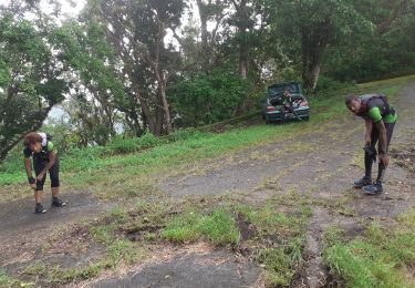
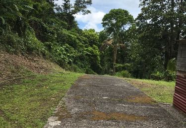
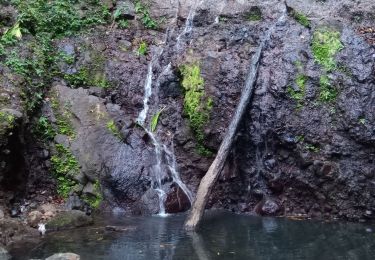
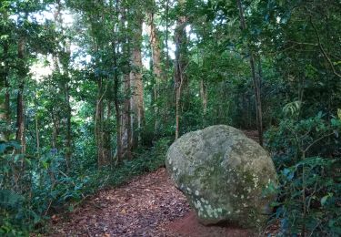
Trace des crêtes Gwada
Positioning
Country:
France
Region :
Guadeloupe
Department/Province :
Unknown
Municipality :
Bouillante
Location:
Unknown
Start:(Dec)
Start:(UTM)
634486 ; 1781898 (20Q) N.
Comments
Trails nearby
Trou à Diable par la rivière Bourceau
Walking
Easy
Bouillante,
Guadeloupe,
Unknown,
France
12 km | 18.4 km-effort
3h 22min
No
Cascade de Beaugendre
Walking
Very easy
(1)
Vieux-Habitants,
Guadeloupe,
Unknown,
France
7 km | 11 km-effort
2h 31min
Yes
Trou à Diable
Walking
Easy
(1)
Bouillante,
Guadeloupe,
Unknown,
France
3.8 km | 5.9 km-effort
1h 22min
Yes
Pointe à Lézard - Anse à Sable
Walking
Very easy
Bouillante,
Guadeloupe,
Unknown,
France
4.6 km | 6.9 km-effort
1h 30min
Yes
Beaugendre-Village
On foot
Medium
Vieux-Habitants,
Guadeloupe,
Unknown,
France
12.3 km | 27 km-effort
6h 6min
No
grand camp
Other activity
Very difficult
Vieux-Habitants,
Guadeloupe,
Unknown,
France
25 km | 48 km-effort
13h 45min
No
Cascade rivière Espérance
Walking
Very easy
Bouillante,
Guadeloupe,
Unknown,
France
1.5 km | 2.9 km-effort
47min
Yes
Crête des Bois
Walking
Medium
Bouillante,
Guadeloupe,
Unknown,
France
3.9 km | 8.6 km-effort
1h 34min
Yes