


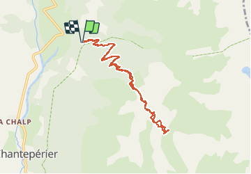

10.6 km | 19.3 km-effort

User GUIDE


FREE GPS app for hiking
 SityTrail
IGN / Geographical institutes
SityTrail World
The world is yours!
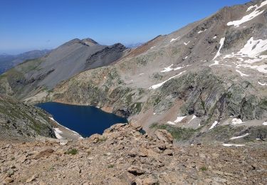
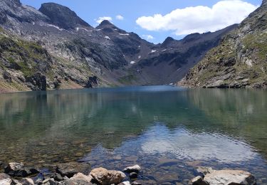
Trail Touring skiing of 9.4 km to be discovered at Auvergne-Rhône-Alpes, Isère, Chantepérier. This trail is proposed by nadd73.
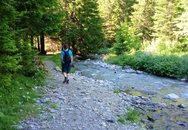
du col d'ornon, chantelouve, les Faures.
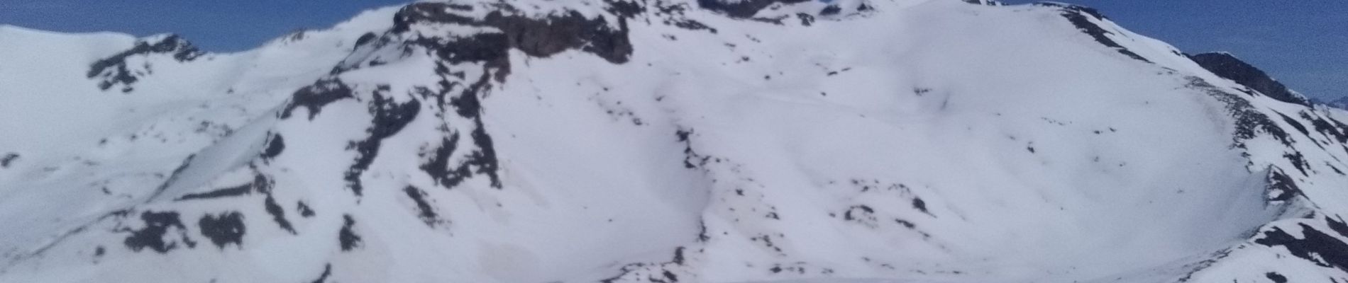
La piste forestière est praticable.
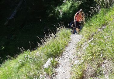
La descente en forêt (sentier) est longue est pas agréable.


Walking
Walking
Walking
Walking
Walking

Running
Walking

Walking
Walking