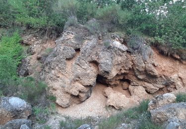
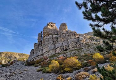
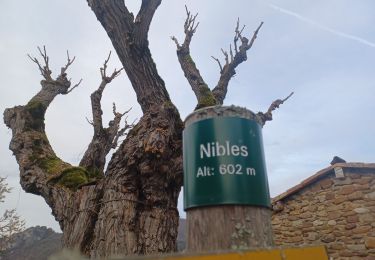
12.7 km | 22 km-effort
Nibles- La Motte du Caire
jojo188
User
Length
16.1 km
Max alt
931 m
Uphill gradient
383 m
Km-Effort
21 km
Min alt
621 m
Downhill gradient
391 m
Boucle
Yes
Creation date :
2021-03-29 06:55:14.996
Updated on :
2021-04-13 18:13:02.632
6h41
Difficulty : Very easy
FREE GPS app for hiking
About
Trail Walking of 16.1 km to be discovered at Provence-Alpes-Côte d'Azur, Alpes-de-Haute-Provence, Nibles. This trail is proposed by jojo188.
Description
Col de l'homme mort
Positioning
Country:
France
Region :
Provence-Alpes-Côte d'Azur
Department/Province :
Alpes-de-Haute-Provence
Municipality :
Nibles
Location:
Unknown
Start:(Dec)
Start:(UTM)
262951 ; 4909052 (32T) N.
Comments
Trails nearby
Clamensane - Col de la Croix - Chapelle St-Amand
Walking
Medium
(1)
Clamensane,
Provence-Alpes-Côte d'Azur,
Alpes-de-Haute-Provence,
France
5h 0min
Yes
Sommet de Jouère
Walking
Difficult
Valavoire,
Provence-Alpes-Côte d'Azur,
Alpes-de-Haute-Provence,
France
10.9 km | 21 km-effort
4h 39min
Yes
Château de la mole - Col de la Sapie
Walking
Very difficult
Valavoire,
Provence-Alpes-Côte d'Azur,
Alpes-de-Haute-Provence,
France
16.1 km | 27 km-effort
5h 19min
No
CLAMENSANE. TROU DU DIABLR . CHAPELLE S AMAND . COL LA CROIX . O L M S. IX
Walking
Difficult
Clamensane,
Provence-Alpes-Côte d'Azur,
Alpes-de-Haute-Provence,
France
12.5 km | 21 km-effort
3h 27min
Yes
VALAVOIRE Pas de Palabiouse , bergerie de Premarche o l s
Walking
Difficult
Clamensane,
Provence-Alpes-Côte d'Azur,
Alpes-de-Haute-Provence,
France
11.7 km | 22 km-effort
3h 53min
Yes
VALAVOIRE. Pas de Palabrouse. Fontaine de Pouille o l s
Walking
Medium
Clamensane,
Provence-Alpes-Côte d'Azur,
Alpes-de-Haute-Provence,
France
11.9 km | 19.8 km-effort
3h 50min
Yes
La chapelle St Amand - Clamensane
Walking
Very difficult
Clamensane,
Provence-Alpes-Côte d'Azur,
Alpes-de-Haute-Provence,
France
12.7 km | 22 km-effort
4h 30min
Yes
La boucle de Saint Jacques - Nibles
Walking
Difficult
Nibles,
Provence-Alpes-Côte d'Azur,
Alpes-de-Haute-Provence,
France
13.1 km | 18.9 km-effort
3h 30min
Yes
Le ravin de terre basse - Chateaufort
Walking
Very difficult
(1)
Châteaufort,
Provence-Alpes-Côte d'Azur,
Alpes-de-Haute-Provence,
France
15 km | 24 km-effort
4h 30min
Yes