


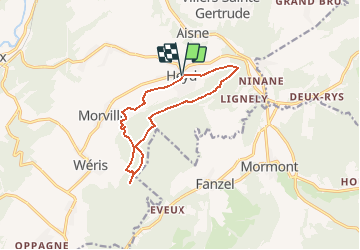

8.1 km | 10.8 km-effort


User


FREE GPS app for hiking
 SityTrail
IGN / Geographical institutes
SityTrail World
The world is yours!
Trail Walking of 10.4 km to be discovered at Wallonia, Luxembourg, Durbuy. This trail is proposed by pierrebonma.
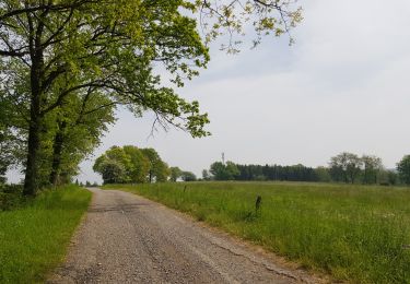
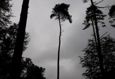
Magnifique promenade fort boisée.
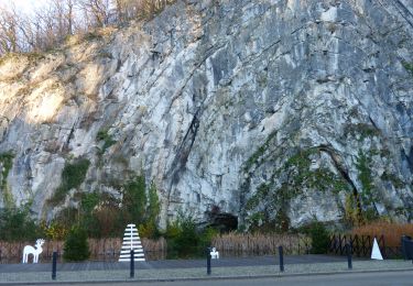
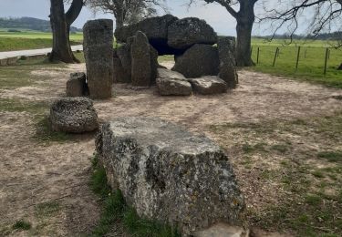
Le lit du diable, la Pierre Heina, le Col du Rideux et le Hé des Pourceaux sont autant de magnifiques lieux à voir.
Un petit banc sympathique permettra de faire un break au Refuge du Brocard

Walking

Walking
Walking

Walking

Walking
Walking
Walking
Walking
Walking