


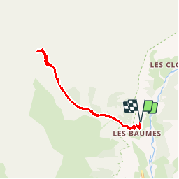


16.3 km | 30 km-effort

User


FREE GPS app for hiking
 SityTrail
IGN / Geographical institutes
SityTrail World
The world is yours!
Trail Walking of 8.2 km to be discovered at Provence-Alpes-Côte d'Azur, Hautes-Alpes, Champoléon. This trail is proposed by Dervalmarc.
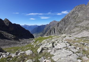
passage du verrou exposé et très raide . Peut présenter une réelle difficulté en début de saison. Faune sauvage abondante marmotte , chamois, bouquetin.


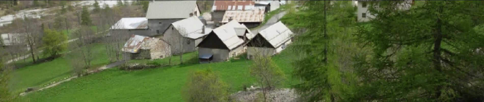
22 photos in total. Please click on a photo to see them all in the gallery.

Walking

On foot

Walking

Walking

Walking

Walking

Walking
Walking

Walking