


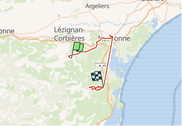

19.9 km | 27 km-effort


User


FREE GPS app for hiking
 SityTrail
IGN / Geographical institutes
SityTrail World
The world is yours!
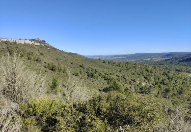
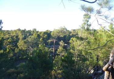
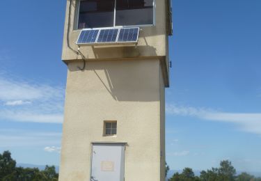
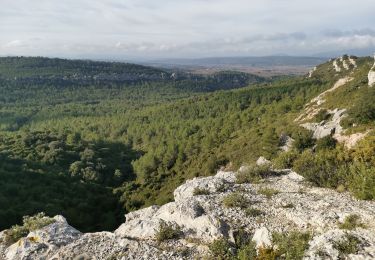
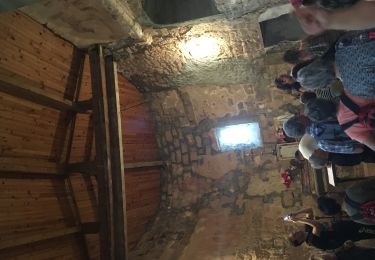
Trail Walking of 74 km to be discovered at Occitania, Aude, Thézan-des-Corbières. This trail is proposed by Taupunzien .
Walking

Walking
Walking
Walking
Walking
Walking
Walking

Walking
Merci d'effacer ce trajet qui a apparemment bugué et gêne dans la liste des recherches filtrées. Cordialement