


3.6 km | 4.8 km-effort


User


FREE GPS app for hiking
 SityTrail
IGN / Geographical institutes
SityTrail World
The world is yours!
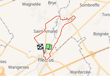
Trail Walking of 12 km to be discovered at Wallonia, Hainaut, Fleurus. This trail is proposed by Eric Vandenberg.
sur les traces de Napoléon à Fleurus


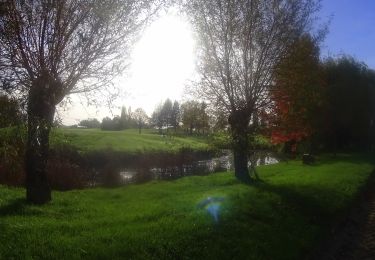
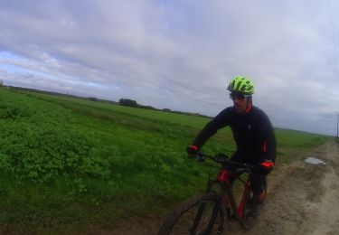
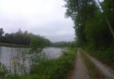
25 photos in total. Please click on a photo to see them all in the gallery.

Walking
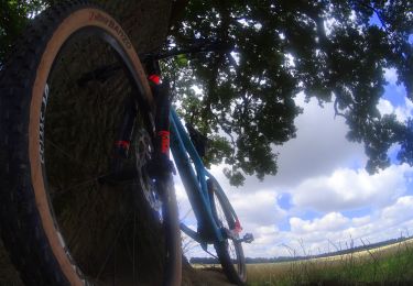
Mountain bike
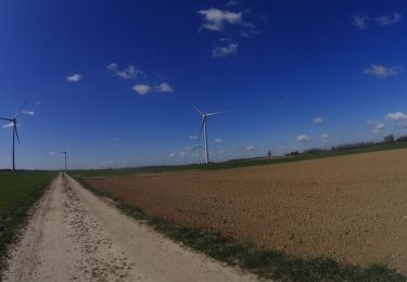
Mountain bike

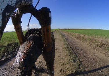
Mountain bike
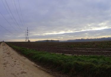
Mountain bike
Mountain bike
Mountain bike
Mountain bike
Mountain bike