


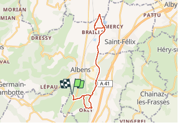

12 km | 19 km-effort


User


FREE GPS app for hiking
 SityTrail
IGN / Geographical institutes
SityTrail World
The world is yours!
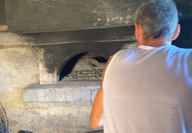
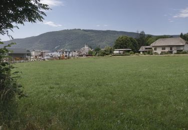
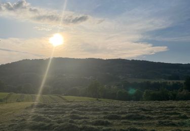
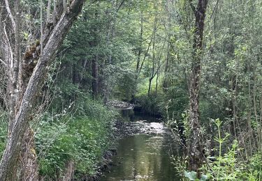
Trail Walking of 15 km to be discovered at Auvergne-Rhône-Alpes, Savoy, Entrelacs. This trail is proposed by Ladyclairdelune74.
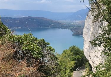
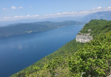
Aller-retour simple aux étangs de Crosagny
Walking


sport

Walking
Walking
Walking
Walking
Walking
Walking
Walking