7.9 km | 9.4 km-effort
RICHARDMENIL 6 AVRIL 2019
Toyot 8
User
Length
25 km
Max alt
344 m
Uphill gradient
324 m
Km-Effort
29 km
Min alt
222 m
Downhill gradient
325 m
Boucle
Yes
Creation date :
2021-03-22 21:49:07.081
Updated on :
2021-03-22 21:49:21.978
FREE GPS app for hiking
About
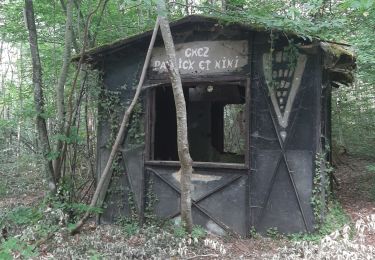
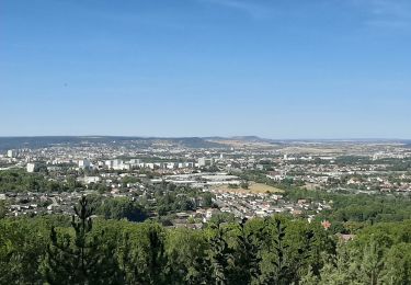
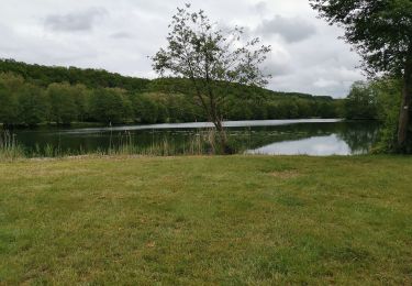
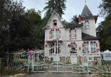
Trail of 25 km to be discovered at Grand Est, Meurthe-et-Moselle, Richardménil. This trail is proposed by Toyot 8.
Positioning
Country:
France
Region :
Grand Est
Department/Province :
Meurthe-et-Moselle
Municipality :
Richardménil
Location:
Unknown
Start:(Dec)
Start:(UTM)
291275 ; 5386368 (32U) N.
Comments
Trails nearby
Fléville-devant-Nancy et son château
On foot
Easy
Fléville-devant-Nancy,
Grand Est,
Meurthe-et-Moselle,
France
2h 8min
Yes
Ludres
sport
Very easy
Ludres,
Grand Est,
Meurthe-et-Moselle,
France
11.6 km | 14.9 km-effort
Unknown
Yes
SityTrail - Marche gourmande 11km
Walking
Difficult
(2)
Ludres,
Grand Est,
Meurthe-et-Moselle,
France
10.4 km | 12.1 km-effort
2h 45min
Yes
marche nuit
Walking
Medium
Ludres,
Grand Est,
Meurthe-et-Moselle,
France
8.7 km | 10.1 km-effort
2h 11min
Yes
Randonnée Ludres la mine la maison Patrick et Nini
Nordic walking
Easy
Ludres,
Grand Est,
Meurthe-et-Moselle,
France
6.7 km | 8.4 km-effort
1h 48min
No
Randonnée Ludres Belvédère
Nordic walking
Easy
Ludres,
Grand Est,
Meurthe-et-Moselle,
France
6.7 km | 8 km-effort
1h 44min
Yes
Flavigny sur moselle
Walking
Very easy
Flavigny-sur-Moselle,
Grand Est,
Meurthe-et-Moselle,
France
10.1 km | 11 km-effort
3h 1min
Yes
Flavigny 2 12 100m + 197m
Walking
Very easy
Flavigny-sur-Moselle,
Grand Est,
Meurthe-et-Moselle,
France
11.9 km | 14.1 km-effort
3h 13min
Yes
FLAVIGNY 2015-10-12
Mountain bike
Medium
(2)
Flavigny-sur-Moselle,
Grand Est,
Meurthe-et-Moselle,
France
28 km | 34 km-effort
2h 37min
No