


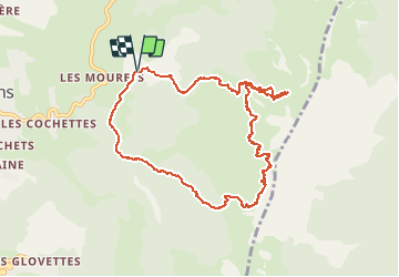

8.7 km | 17.3 km-effort

User GUIDE


FREE GPS app for hiking
 SityTrail
IGN / Geographical institutes
SityTrail World
The world is yours!
Trail Touring skiing of 10.2 km to be discovered at Auvergne-Rhône-Alpes, Isère, Villard-de-Lans. This trail is proposed by nadd73.
Départ de conversaria.
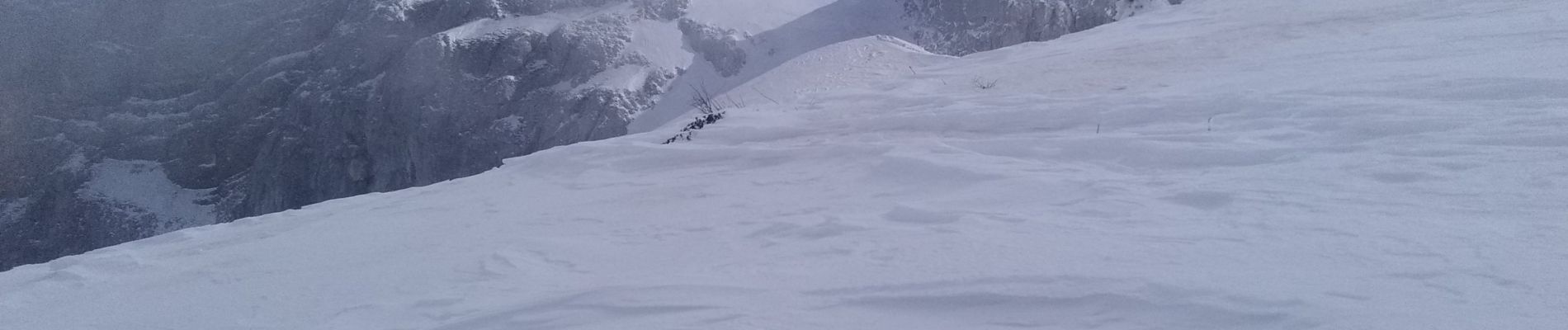
Nous n'avons pas fait le rocher de l'ours car bcp de vent et neige gelée.
En bas de la combe de Chaulange, bcp de cailloux et étroit.


Walking

Snowshoes

Walking

Walking

Walking

Walking

Snowshoes

Mountain bike

Walking