


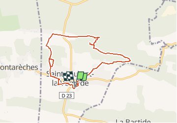

14.3 km | 17.2 km-effort


User


FREE GPS app for hiking
 SityTrail
IGN / Geographical institutes
SityTrail World
The world is yours!
Trail Walking of 8.3 km to be discovered at Occitania, Gard, Saint-Laurent-la-Vernède. This trail is proposed by caroline116.
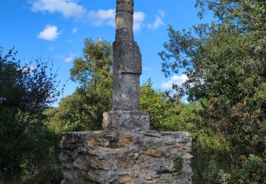
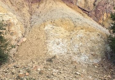
Les ocres
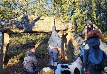
Le dolmen
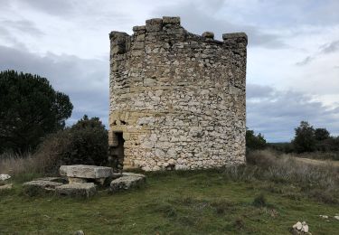
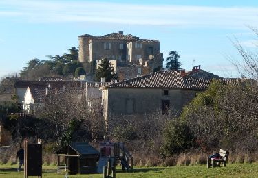
Le fort
Enlever les ocres pour une MD


sport

Walking
Walking
Walking
Walking
Other activity

Mountain bike
Walking
Mountain bike
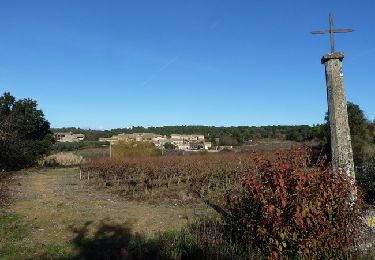
belle randonnée