


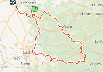

18.1 km | 23 km-effort


User


FREE GPS app for hiking
 SityTrail
IGN / Geographical institutes
SityTrail World
The world is yours!
Trail Motorbike of 107 km to be discovered at Occitania, Tarn, Montredon-Labessonnié. This trail is proposed by ktmetarn.

Walking
Walking
Walking

Walking
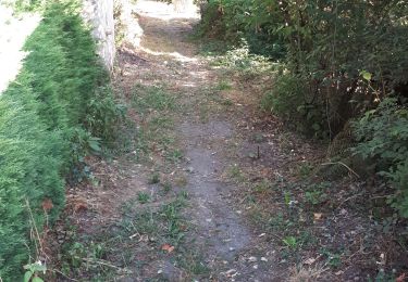
![Trail On foot Montfa - [Itinéraire] Randonnée des Puechs, sur les traces de Toulouse-Lautrec - Photo](https://media.geolcdn.com/t/375/260/ext.jpg?maxdim=2&url=https%3A%2F%2Fstatic1.geolcdn.com%2Fsiteimages%2Fupload%2Ffiles%2F1545311037marcheuse_200dpi.jpg)
On foot


sport
Walking
Walking