


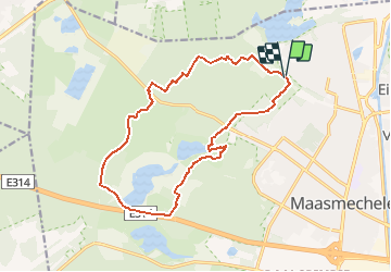

14.2 km | 16.2 km-effort

User GUIDE


FREE GPS app for hiking
 SityTrail
IGN / Geographical institutes
SityTrail World
The world is yours!
Trail Walking of 14.6 km to be discovered at Flanders, Limburg, Maasmechelen. This trail is proposed by mumu.larandonneuse.
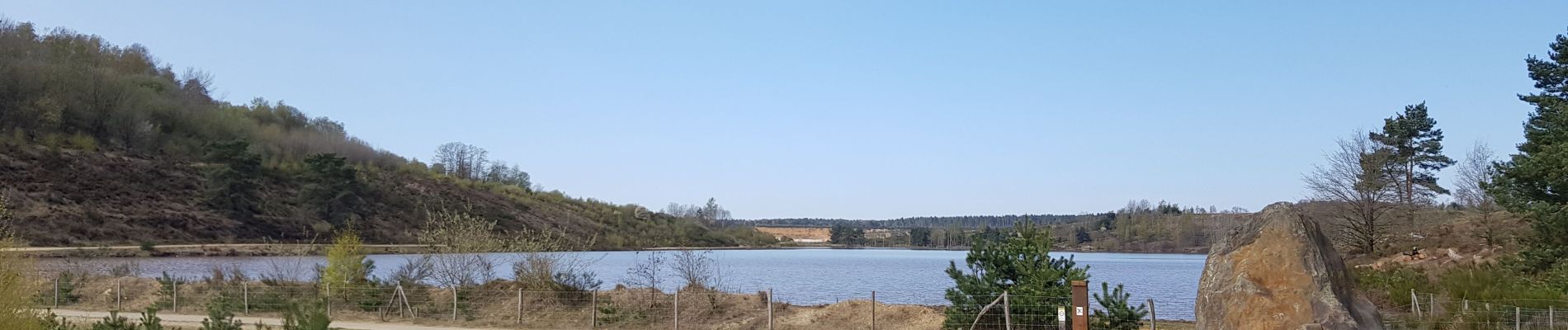
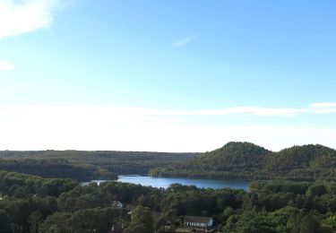
Magnifique randonnée dans le Parc National de la Haute Campine.
📌 Ancienne gare d'Eisden, Spoorwegstraat, grand 🅿️ à la fin de la route.
ℹ www.wandelgidszuidlimburg.com n° 1073.


Walking

On foot

On foot

On foot
On foot

On foot
On foot
On foot
On foot