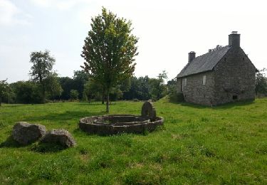
6 km | 7.7 km-effort
Les Tourailles
BOUGON
User
Length
15.5 km
Max alt
256 m
Uphill gradient
291 m
Km-Effort
19.4 km
Min alt
144 m
Downhill gradient
291 m
Boucle
Yes
Creation date :
2014-12-10 00:00:00.0
Updated on :
2014-12-10 00:00:00.0
4h09
Difficulty : Unknown
FREE GPS app for hiking
About
Trail Walking of 15.5 km to be discovered at Normandy, Orne, Athis-Val-de-Rouvre. This trail is proposed by BOUGON.
Positioning
Country:
France
Region :
Normandy
Department/Province :
Orne
Municipality :
Athis-Val-de-Rouvre
Location:
Unknown
Start:(Dec)
Start:(UTM)
690974 ; 5403732 (30U) N.
Comments
Trails nearby
le chemin du repentir
Walking
Very easy
Sainte-Honorine-la-Guillaume,
Normandy,
Orne,
France
1h 34min
Yes
le chemin des granitiers
Walking
Very easy
Putanges-le-Lac,
Normandy,
Orne,
France
4.9 km | 5.8 km-effort
1h 24min
Yes
Le Chemin des poètes
On foot
Easy
Durcet,
Normandy,
Orne,
France
8.9 km | 10.3 km-effort
2h 20min
Yes
La Vallée des Moulins
On foot
Easy
Sainte-Honorine-la-Guillaume,
Normandy,
Orne,
France
13.2 km | 17 km-effort
3h 51min
Yes
Le chant des cailoux
On foot
Easy
Athis-Val-de-Rouvre,
Normandy,
Orne,
France
7.9 km | 9.7 km-effort
2h 12min
Yes
Activity
Bicycle tourism
Medium
Athis-Val-de-Rouvre,
Normandy,
Orne,
France
19.6 km | 23 km-effort
Unknown
No
2024-02-05_18h18m01_SityTrail - 3940012 - lys-xxxoetre
sport
Very easy
Athis-Val-de-Rouvre,
Normandy,
Orne,
France
9 km | 10.5 km-effort
Unknown
No
rando roches 29km
Horseback riding
Difficult
Athis-Val-de-Rouvre,
Normandy,
Orne,
France
29 km | 37 km-effort
4h 49min
Yes
L'Aclos 210723
Nordic walking
Easy
Putanges-le-Lac,
Normandy,
Orne,
France
5.1 km | 5.8 km-effort
1h 5min
Yes