


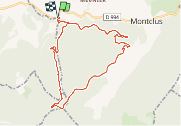

10.3 km | 19.1 km-effort


User


FREE GPS app for hiking
 SityTrail
IGN / Geographical institutes
SityTrail World
The world is yours!
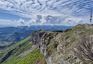
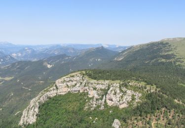
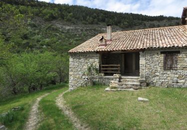
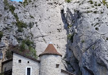
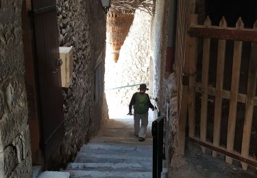
Trail Walking of 10.9 km to be discovered at Provence-Alpes-Côte d'Azur, Hautes-Alpes, Montclus. This trail is proposed by rigol05.
Sortie du 08/03/2021
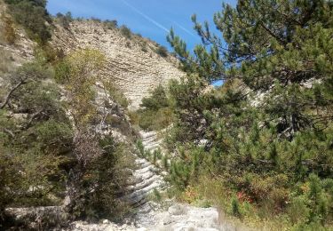
Itinéraire entièrement hors balisage, des corrections ont été apporté suite à la reconnaissance. Le terrain est parfois difficile étant très encombré par des déchets forestier. L'utilisation d'une trace gps est vivement conseillée.

Walking
Walking
Walking
Walking
Mountain bike

Walking
Walking

Walking
Walking