![](/images/other/stat-length.png)
![Trail Walking Villers-la-Ville - Le Huit du Footvillers - Photo](https://media.geolcdn.com/t/1900/400/ee0ea779-245a-4f79-99d3-f06b1f6e5a04.jpg&format=pjpeg&maxdim=2)
Le Huit du Footvillers
Chantheys
User
![Length](/images/other/stat-length.png)
![Max alt](https://static1.geolcdn.com/siteimages/upload/files/1508320355ic_sort_altitude_max_24dp.png)
![Uphill gradient](https://static1.geolcdn.com/siteimages/upload/files/1508320355ic_sort_den_pos_24dp.png)
![Km-Effort](/images/other/stat-length.png)
![Min alt](https://static1.geolcdn.com/siteimages/upload/files/1508320355ic_sort_altitude_min_24dp.png)
![Downhill gradient](https://static1.geolcdn.com/siteimages/upload/files/1508320355ic_sort_den_neg_24dp.png)
![Boucle](https://static1.geolcdn.com/siteimages/upload/files/16400158638029165_repeat_loop_refresh_sync_direction_icon.png)
![Walking](https://static1.geolcdn.com/sitytour/trail-icons/101.png)
2h31
Difficulty : Medium
![Scan this QR Code to open this trail in the SityTrail application](https://capi.geolives.com/qq0zvz2zws4bq2lad0pu/sitytour/trails/2699964/qr.png?size=200)
FREE GPS app for hiking
About
Trail Walking of 9.4 km to be discovered at Wallonia, Walloon Brabant, Villers-la-Ville. This trail is proposed by Chantheys.
Description
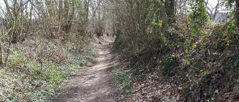
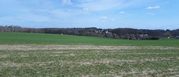
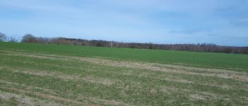
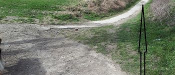
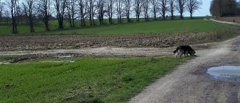
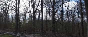
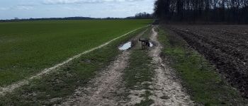
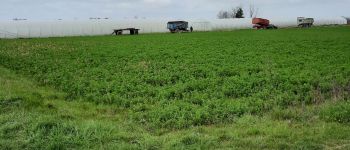
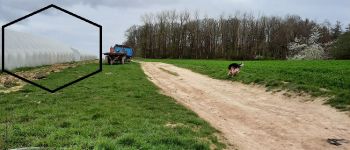
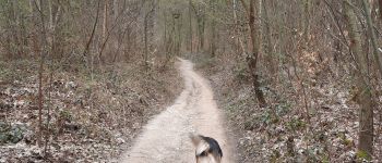
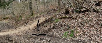
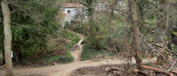
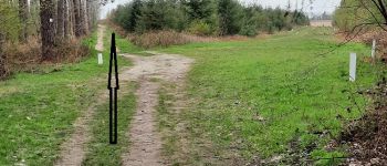
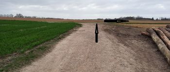
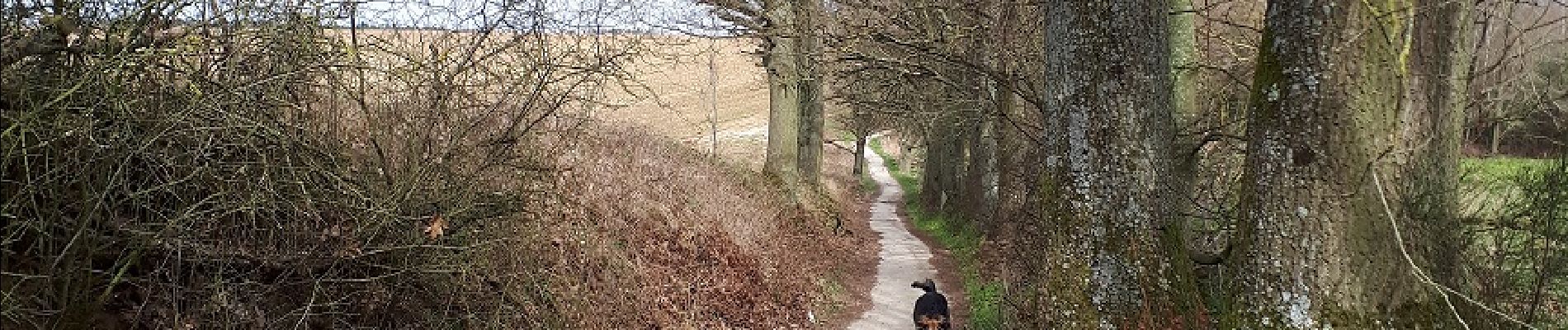
Départ du terrain de foot de Villers-la-Ville. (Attention, le parking peut s'avérer difficile s'il y a match). Alternance de passages boisés et campagnards. Cheminement sur sentiers (parfois revêtus) et chemins de terre (donc, attendez-vous à avoir de la boue par temps humide).
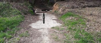
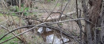
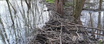
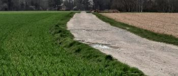
Un passage difficile, lorsque vous quittez la rivière "Ry d'Hez" et que vous devez monter perpendiculairement à celle-ci : la pente est très forte et difficile surtout si le sol est humide.
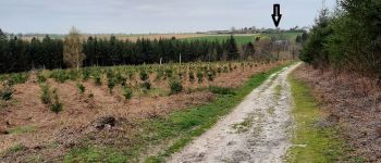
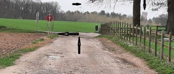
Seulement trois brefs passages sur route asphaltée dont un seul est sur une route fréquentée.
Points of interest
Positioning
Comments
Trails nearby
![Trail Walking Villers-la-Ville - RB-Bw-10-raccourci 2 - À travers campagnes et forêts, autour des ruines d’une prestigieuse abbaye - Photo](https://media.geolcdn.com/t/375/260/ext.jpg?maxdim=2&url=https%3A%2F%2Fservices.sitytrail.com%2FGeolivesWS%2FDownloadMedia.ashx%3FTrailID%3D220359%26Media%3Db52f8a40-bd4e-4201-848f-58c9caafd869.jpg)
![Walking Walking](https://static1.geolcdn.com/sitytour/trail-icons/101.png)
Walking
![](/images/other/stat-length.png)
![](https://static1.geolcdn.com/siteimages/upload/files/16400158638029165_repeat_loop_refresh_sync_direction_icon.png)
![Trail Walking Villers-la-Ville - RB-Bw-10 - Villers-la-Ville - 2025-02-08 - Photo](https://media.geolcdn.com/t/375/260/ext.jpg?maxdim=2&url=https%3A%2F%2Fservices.sitytrail.com%2FGeolivesWS%2FDownloadMedia.ashx%3FTrailID%3D220358%26Media%3D903cc0f2-4910-43b5-bcea-92ca954ab4b4.jpg)
![Walking Walking](https://static1.geolcdn.com/sitytour/trail-icons/101.png)
Walking
![](/images/other/stat-length.png)
![](https://static1.geolcdn.com/siteimages/upload/files/16400158638029165_repeat_loop_refresh_sync_direction_icon.png)
![Trail Walking Genappe - RB-Bw-09 Raccourci 1 & 2 - Autour de la jeune Dyle et de ses affluents - Photo](https://media.geolcdn.com/t/375/260/ext.jpg?maxdim=2&url=https%3A%2F%2Fservices.sitytrail.com%2FGeolivesWS%2FDownloadMedia.ashx%3FTrailID%3D220340%26Media%3Dd40b4c5b-4793-41f9-ac7b-fe40a955ea25.jpg)
![Walking Walking](https://static1.geolcdn.com/sitytour/trail-icons/101.png)
Walking
![](/images/other/stat-length.png)
![](https://static1.geolcdn.com/siteimages/upload/files/16400158638029165_repeat_loop_refresh_sync_direction_icon.png)
![Trail Walking Genappe - RB-Bw-09 Raccourci 1 - Autour de la jeune Dyle et de ses affluents - Photo](https://media.geolcdn.com/t/375/260/ext.jpg?maxdim=2&url=https%3A%2F%2Fservices.sitytrail.com%2FGeolivesWS%2FDownloadMedia.ashx%3FTrailID%3D220337%26Media%3Dcacfbcff-3084-47a0-8267-9fc97c2da542.jpg)
![Walking Walking](https://static1.geolcdn.com/sitytour/trail-icons/101.png)
Walking
![](/images/other/stat-length.png)
![](https://static1.geolcdn.com/siteimages/upload/files/16400158638029165_repeat_loop_refresh_sync_direction_icon.png)
![Trail Walking Villers-la-Ville - RB-Bw-10 - Villers-la-Ville - Via allongement - 2025-02-08 - Photo](https://media.geolcdn.com/t/375/260/ext.jpg?maxdim=2&url=https%3A%2F%2Fservices.sitytrail.com%2FGeolivesWS%2FDownloadMedia.ashx%3FTrailID%3D179585%26Media%3D903cc0f2-4910-43b5-bcea-92ca954ab4b4.jpg)
![Walking Walking](https://static1.geolcdn.com/sitytour/trail-icons/101.png)
Walking
![](/images/other/stat-length.png)
![](https://static1.geolcdn.com/siteimages/upload/files/16400158638029165_repeat_loop_refresh_sync_direction_icon.png)
![Trail Walking Genappe - RB-Bw-09 - Bousval - 2025-02-08 - Photo](https://media.geolcdn.com/t/375/260/ext.jpg?maxdim=2&url=https%3A%2F%2Fservices.sitytrail.com%2FGeolivesWS%2FDownloadMedia.ashx%3FTrailID%3D179584%26Media%3Dcacfbcff-3084-47a0-8267-9fc97c2da542.jpg)
![Walking Walking](https://static1.geolcdn.com/sitytour/trail-icons/101.png)
Walking
![](/images/other/stat-length.png)
![](https://static1.geolcdn.com/siteimages/upload/files/16400158638029165_repeat_loop_refresh_sync_direction_icon.png)
![Trail Walking Genappe - Genappe - Circuit Natura 2000, des sites qui valent le détour ! - Bw03 - Photo](https://media.geolcdn.com/t/375/260/ext.jpg?maxdim=2&url=https%3A%2F%2Fservices.sitytrail.com%2FGeolivesWS%2FDownloadMedia.ashx%3FTrailID%3D356410%26Media%3D9ffde3d0-226c-45a8-b2a5-1fc6dfbe0f90.jpg)
![Walking Walking](https://static1.geolcdn.com/sitytour/trail-icons/101.png)
Walking
![](/images/other/stat-length.png)
![](https://static1.geolcdn.com/siteimages/upload/files/16400158638029165_repeat_loop_refresh_sync_direction_icon.png)
![Trail Walking Court-Saint-Étienne - RL-GG-22 - La Roche - Blanmont - 2025-02-08 - Photo](https://media.geolcdn.com/t/375/260/30daf148-db06-45a8-82ae-1a9e3bedbca7.jpg&format=jpg&maxdim=2)
![Walking Walking](https://static1.geolcdn.com/sitytour/trail-icons/101.png)
Walking
![](/images/other/stat-length.png)
![](https://static1.geolcdn.com/siteimages/upload/files/16400158638029165_repeat_loop_refresh_sync_direction_icon.png)
![Walking Walking](https://static1.geolcdn.com/sitytour/trail-icons/101.png)
Walking
![](/images/other/stat-length.png)
![](https://static1.geolcdn.com/siteimages/upload/files/16400158638029165_repeat_loop_refresh_sync_direction_icon.png)