


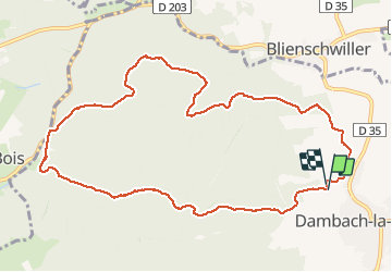

13 km | 18.5 km-effort

User


FREE GPS app for hiking
 SityTrail
IGN / Geographical institutes
SityTrail World
The world is yours!
Trail Walking of 11 km to be discovered at Grand Est, Bas-Rhin, Dambach-la-Ville. This trail is proposed by VacheKiri67.
Faite le 07/03/2021. D'après "Passion Vosges - Escapade en Alsace Centrale" N°3 : Traversée du massif du Bernstein. Durée indiqué pour le circuit : 3h30. Départ : parking de la chapelle Saint-Sébastien à Dambach-la-Ville.


Walking
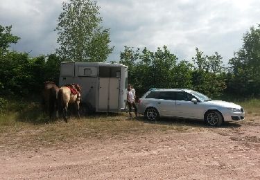
Equestrian

Walking

Walking

Walking

Horseback riding

Walking
Walking

Walking