


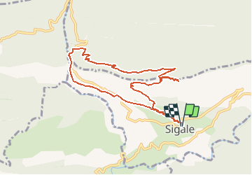

24 km | 46 km-effort


User


FREE GPS app for hiking
 SityTrail
IGN / Geographical institutes
SityTrail World
The world is yours!
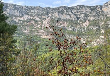
Trail Walking of 9.3 km to be discovered at Provence-Alpes-Côte d'Azur, Maritime Alps, Sigale. This trail is proposed by Benteux.
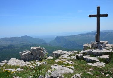
Cime de la CACIA optionnel (150m de dénivelé) - 500m du parcours sur goudron pour voir les gorges du Riolan.
On foot
On foot

On foot

Walking

Walking
Walking
Walking
Walking
Walking