


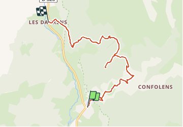

10.8 km | 21 km-effort


User


FREE GPS app for hiking
 SityTrail
IGN / Geographical institutes
SityTrail World
The world is yours!
Trail Walking of 7.5 km to be discovered at Auvergne-Rhône-Alpes, Isère, Chantepérier. This trail is proposed by Chafoin.
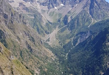
Grenoble à 65 km du Périer montée en 1h 50 jusqu'au Touret.
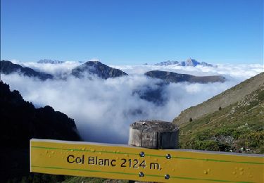
Descriptif dans Trièves Pays de la Mure deL.Ferrand et J.-L Borrel N°117 p 195 et 196 . L : 7,5 km-Effort 16. D 680 m
Walking

Walking
Walking
Walking
Walking
Walking

Running
Walking
Walking