


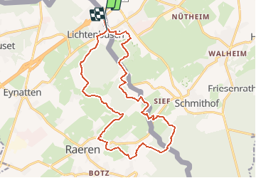

13.2 km | 17.3 km-effort

User GUIDE


FREE GPS app for hiking
 SityTrail
IGN / Geographical institutes
SityTrail World
The world is yours!
Trail Walking of 17.5 km to be discovered at Wallonia, Liège, Raeren. This trail is proposed by mumu.larandonneuse.
Randonnée transfrontalière entre la Belgique et l'Allemagne.
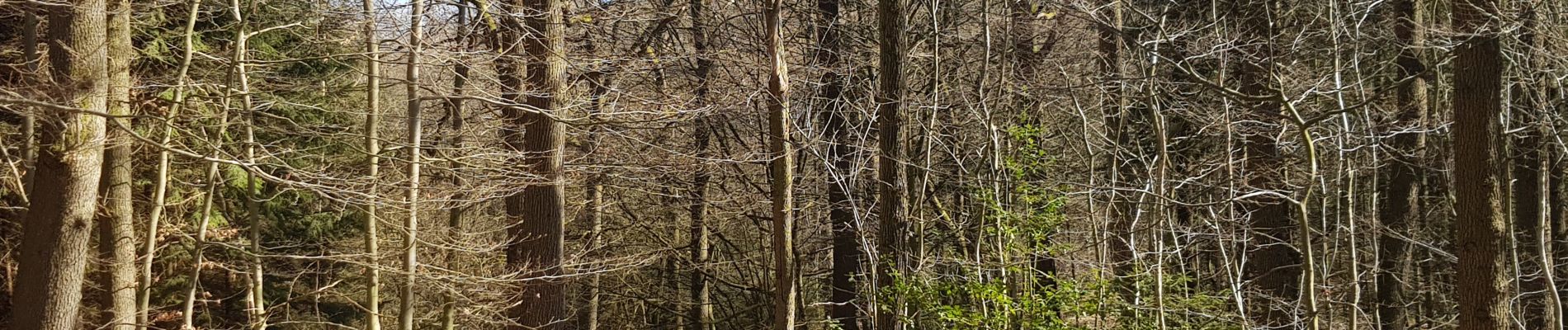
Beau parcours majoritairement boisé et campagnard.
📌 Café Restaurant Mesopotamia Raerenerstrasse 26.
ℹ www.wandelgidszuidlimburg.com n° 1023


Walking
Walking

Walking

Walking

Walking
Walking

Walking
Walking

Walking