


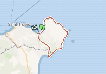

12.2 km | 14.7 km-effort

User


FREE GPS app for hiking
 SityTrail
IGN / Geographical institutes
SityTrail World
The world is yours!
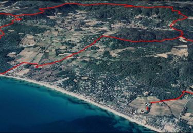
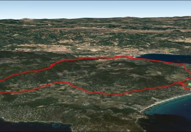
Trail Walking of 12.1 km to be discovered at Provence-Alpes-Côte d'Azur, Var, Saint-Tropez. This trail is proposed by fhascoet.
Belle randonnée. Maisons impressionnantes au Nord, sentier plus sauvage à l'Est. Retour sur la route au travers de belles propriétés


Walking
Walking

Walking

Walking

Walking

Mountain bike
Mountain bike
Electric bike
Mountain bike