


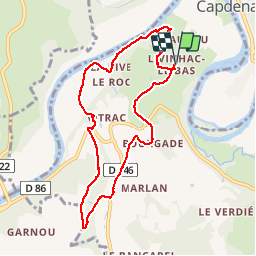


27 km | 34 km-effort


User


FREE GPS app for hiking
 SityTrail
IGN / Geographical institutes
SityTrail World
The world is yours!
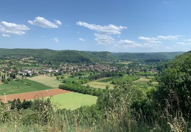
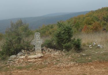
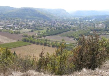
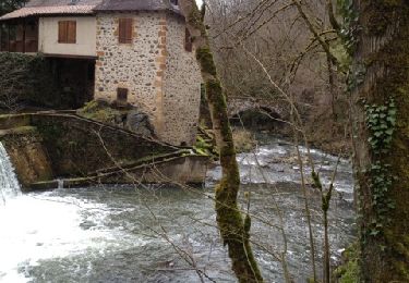
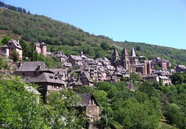
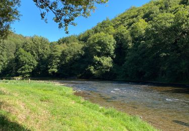
Trail Walking of 8.9 km to be discovered at Occitania, Aveyron, Capdenac-Gare. This trail is proposed by xamax12.
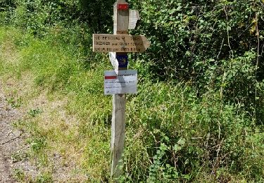
Suivre le balisage jaune sauf au début sur 1km pour rejoindre Sarrou et à la fin environ 1km aussi pour rejoindre Livinhac le bas (D'autre chemins sont possible pour le retour)! Sinon c'est une belle promenade avec 2 moulin et pas mal de bois!
Walking
Walking
Walking
Walking
Mountain bike
Cycle

sport

sport
sport