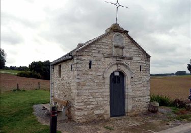
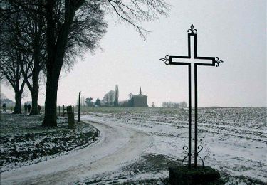
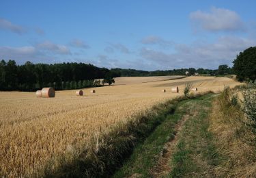
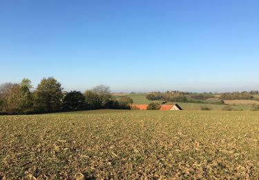
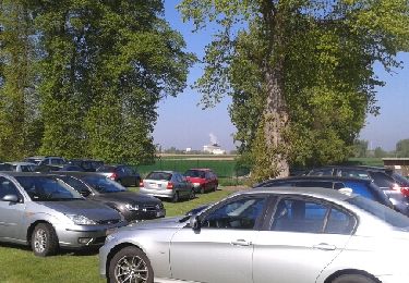
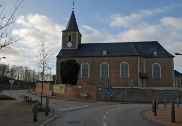
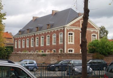
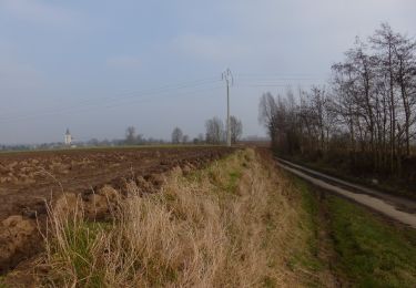
Trail Walking Hoegaarden - Outgaarden - Photo
 gossim2
gossim2

User

© OpenStreetMap contributors
Length
Length
6 km
Max alt
Max alt
95 m
Uphill gradient
Uphill gradient
55 m
Km-Effort
Km-Effort  
6.7 km
Min alt
Min alt
58 m
Downhill gradient
Downhill gradient
55 m
Boucle
Boucle
Yes
Creation date :
2021-02-27 15:15:12.0
Updated on :
2021-02-27 16:48:55.715

(0 Reviews)

Walking
Walking
1h34
Difficulty : Very easy

Scan this QR Code to open this trail in the SityTrail application

FREE GPS app for hiking

Logo SityTrail SityTrail

IGN / Geographical institutes

Download SityTrail from the App Store Download SityTrail from Google Play

Logo SityTrail SityTrail World

The world is yours!

Download SityTrail from the App Store Download SityTrail from Google Play Download SityTrail on Huawei AppGallery

About

Trail Walking of 6 km to be discovered at Flanders, Flemish Brabant, Hoegaarden. This trail is proposed by gossim2.

Description

Tussen de akkers vanuit het dorp

Elevation profile

Positioning

Country:
Belgium
Region :
Flanders
Department/Province :
Flemish Brabant
Municipality :
Hoegaarden
Location:
Outgaarden
Start:(UTM)
635289 ; 5625486 (31U) N.

Trails nearby

Trail Walking Jodoigne - RB-BW-03 -raccourci 2 -  - Les beaux villages de pierre blanche - Photo
Walking
PRO

Walking

Easy
(5)
Jodoigne, Wallonia, Walloon Brabant, Belgium
12.9 km | 15.2 km-effort
4h 1min
Yes
Trail Walking Jodoigne - RB-BW-03 -raccourci 1 -  - Les beaux villages de pierre blanche - Photo
Walking
PRO

Walking

Easy
(6)
Jodoigne, Wallonia, Walloon Brabant, Belgium
20 km | 24 km-effort
5h 17min
Yes
Trail Walking Jodoigne - SityTrail - Jodoigne 22 km - Photo
Walking
GUIDE
Charles Lemaire

Walking

Very difficult
(1)
Jodoigne, Wallonia, Walloon Brabant, Belgium
26 km | 31 km-effort
6h 57min
Yes
Trail Walking Jodoigne - 221114b - Jodoigne, Gobertange, St Remy-Geest, GRP127 (court) - Photo
Walking
Randos Ouvertes

Walking

Medium
(2)
Jodoigne, Wallonia, Walloon Brabant, Belgium
5.8 km | 6.8 km-effort
1h 32min
Yes
Trail Walking Tienen - marche a Tirlemont - Photo
Walking
Bodart

Walking

Very easy
(1)
Tienen, Flanders, Flemish Brabant, Belgium
12.8 km | 13.8 km-effort
2h 21min
Yes
Trail On foot Tienen - Orbeccawandeling Kort - Photo
On foot
GUIDE+

On foot

Easy
Tienen, Flanders, Flemish Brabant, Belgium
5 km | 5.6 km-effort
1h 16min
Yes
Trail On foot Tienen - Historische stadswandeling lange versie - Photo
On foot
GUIDE+

On foot

Easy
Tienen, Flanders, Flemish Brabant, Belgium
6.1 km | 6.7 km-effort
1h 31min
Yes
Trail On foot Tienen - Historische stadswandeling korte versie - Photo
On foot
GUIDE+

On foot

Easy
Tienen, Flanders, Flemish Brabant, Belgium
4.1 km | 4.4 km-effort
1h 0min
Yes
Trail On foot Jodoigne - Promenade des Hougardiers - Photo
On foot
GUIDE+

On foot

Easy
Jodoigne, Wallonia, Walloon Brabant, Belgium
8.6 km | 9.8 km-effort
2h 13min
Yes


Close
My subscriptions