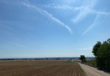
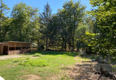
Trail Walking Gambsheim - Boucle de Gambsteim - Photo

Boucle de Gambsteim

 s0c7
s0c7

User

© OpenStreetMap contributors
Length
Length
13.1 km
Max alt
Max alt
141 m
Uphill gradient
Uphill gradient
89 m
Km-Effort
Km-Effort  
14.3 km
Min alt
Min alt
122 m
Downhill gradient
Downhill gradient
88 m
Boucle
Boucle
Yes
Creation date :
2021-02-27 10:39:10.748
Updated on :
2021-02-27 15:14:41.913

(0 Reviews)

Walking
Walking
2h25
Difficulty : Very easy

Scan this QR Code to open this trail in the SityTrail application

FREE GPS app for hiking

Logo SityTrail SityTrail

IGN / Geographical institutes

Download SityTrail from the App Store Download SityTrail from Google Play

Logo SityTrail SityTrail World

The world is yours!

Download SityTrail from the App Store Download SityTrail from Google Play Download SityTrail on Huawei AppGallery

About

Trail Walking of 13.1 km to be discovered at Grand Est, Bas-Rhin, Gambsheim. This trail is proposed by s0c7.

Elevation profile

Positioning

Country:
France
Region :
Grand Est
Department/Province :
Bas-Rhin
Municipality :
Gambsheim
Location:
Unknown
Start:(UTM)
417757 ; 5394681 (32U) N.

Trails nearby

Trail Horseback riding Weyersheim - Zorn et hohenberg - Photo
Horseback riding
Zol

Horseback riding

Very easy
Weyersheim, Grand Est, Bas-Rhin, France
26 km | 29 km-effort
5h 25min
Yes
Trail sport Gambsheim - Forêt de Gambsheim  - Photo
sport
Virginie Coche

sport

Very easy
Gambsheim, Grand Est, Bas-Rhin, France
1.5 km | 1.8 km-effort
Unknown
Yes
Trail Walking La Wantzenau - BM-06-22 du 24.06.2022 - Photo
Walking
bene_dictus77

Walking

Very easy
La Wantzenau, Grand Est, Bas-Rhin, France
10.7 km | 12 km-effort
2h 39min
No
Trail Walking La Wantzenau - La Wantzenau - Photo
Walking
Marie-Claude Martin

Walking

Easy
La Wantzenau, Grand Est, Bas-Rhin, France
8.1 km | 8.7 km-effort
2h 15min
Yes
Trail Horseback riding Weyersheim - Hohenberg et forêt  - Photo
Horseback riding
Zol

Horseback riding

Very easy
Weyersheim, Grand Est, Bas-Rhin, France
15.7 km | 17.7 km-effort
3h 7min
No
Trail Running La Wantzenau - La wantzenau-kilstett - Photo
Running
Yutaro

Running

Easy
La Wantzenau, Grand Est, Bas-Rhin, France
11.6 km | 12.5 km-effort
52min
Yes
Trail Cycle Rheinau - Freistett Oberharmersbach par Oberkirch et Oppenau   2 - Photo
Cycle
catpym

Cycle

Very easy
Rheinau, Baden-Württemberg, Ortenaukreis, Germany
53 km | 65 km-effort
Unknown
No
Trail Horseback riding Weyersheim - Weyersheim batzendorf - Photo
Horseback riding
Zol

Horseback riding

Weyersheim, Grand Est, Bas-Rhin, France
18.5 km | 21 km-effort
4h 57min
No
Trail Horseback riding Weyersheim - VERS HARTHOUSE - Photo
Horseback riding
Zol

Horseback riding

Medium
Weyersheim, Grand Est, Bas-Rhin, France
24 km | 26 km-effort
3h 25min
No


Close
My subscriptions