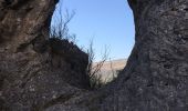
Trail Walking Rimon-et-Savel - Savel - La Pale - Photo
 ajd26
ajd26

User

© OpenStreetMap contributors
Length
Length
17.4 km
Max alt
Max alt
1312 m
Uphill gradient
Uphill gradient
960 m
Km-Effort
Km-Effort  
30 km
Min alt
Min alt
539 m
Downhill gradient
Downhill gradient
961 m
Boucle
Boucle
Yes
Creation date :
2021-02-25 07:57:52.0
Updated on :
2021-02-26 10:12:26.08

(0 Reviews)

Walking
Walking
6h00
Difficulty : Difficult

Scan this QR Code to open this trail in the SityTrail application

FREE GPS app for hiking

Logo SityTrail SityTrail

IGN / Geographical institutes

Download SityTrail from the App Store Download SityTrail from Google Play

Logo SityTrail SityTrail World

The world is yours!

Download SityTrail from the App Store Download SityTrail from Google Play Download SityTrail on Huawei AppGallery

About

Trail Walking of 17.4 km to be discovered at Auvergne-Rhône-Alpes, Drôme, Rimon-et-Savel. This trail is proposed by ajd26.

Description

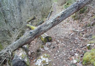
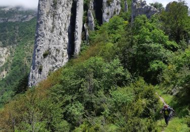
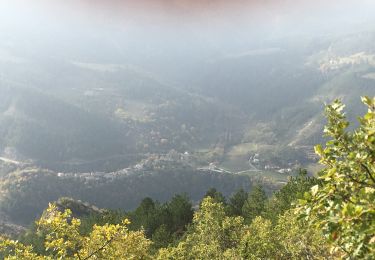
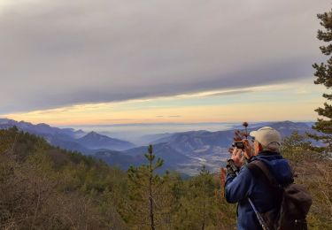
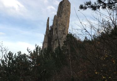
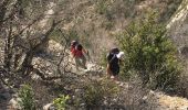
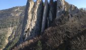
joli parcours jusqu'à La Pale, montée raide quand on quitte la D595
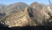
pour le retour continuer en crêtes jusqu'à la cote 1208 et descendre  sur le ravin de Fontonne  puis route jusqu'à Savel pas interessant et long, voire  si on peut couper sous la ligne EDF pour schunter un peu la route

Elevation profile

Photos

Positioning

Country:
France
Region :
Auvergne-Rhône-Alpes
Department/Province :
Drôme
Municipality :
Rimon-et-Savel
Location:
Unknown
Start:(UTM)
681894 ; 4946672 (31T) N.

Trails nearby

Trail Walking Aurel - 26 aurel col de la grave rimon - Photo
Walking
GUIDE
randodyssée

Walking

Easy
Aurel, Auvergne-Rhône-Alpes, Drôme, France
14.6 km | 25 km-effort
6h 4min
No
Trail Walking Rimon-et-Savel - 26 lames de pennes savel jp - Photo
Walking
GUIDE
randodyssée

Walking

Medium
Rimon-et-Savel, Auvergne-Rhône-Alpes, Drôme, France
10.8 km | 0 m-effort
7h 56min
Yes
Trail Walking Rimon-et-Savel - balcons de la Roanne - Photo
Walking
ajd26

Walking

Medium
Rimon-et-Savel, Auvergne-Rhône-Alpes, Drôme, France
18.8 km | 29 km-effort
5h 17min
Yes
Trail Walking Espenel - 26 espenel zel - Photo
Walking
GUIDE
randodyssée

Walking

Difficult
Espenel, Auvergne-Rhône-Alpes, Drôme, France
15 km | 28 km-effort
8h 22min
No
Trail Walking Rimon-et-Savel - rimon 2/1/2022 - Photo
Walking
odileterrasse26

Walking

Medium
Rimon-et-Savel, Auvergne-Rhône-Alpes, Drôme, France
5.4 km | 6.9 km-effort
1h 48min
No
Trail Walking Saint-Benoit-en-Diois - montagne de Faraud - Photo
Walking
ajd26

Walking

Difficult
Saint-Benoit-en-Diois, Auvergne-Rhône-Alpes, Drôme, France
16.4 km | 31 km-effort
5h 15min
Yes
Trail Walking Aucelon - la montagne d Aucelon  - Photo
Walking
jphugon

Walking

Difficult
Aucelon, Auvergne-Rhône-Alpes, Drôme, France
97 km | 119 km-effort
6h 0min
No
Trail Walking Pradelle - Pradelle - Vallée de la Roanne - Photo
Walking
Philindy26

Walking

Medium
Pradelle, Auvergne-Rhône-Alpes, Drôme, France
14.7 km | 24 km-effort
4h 0min
Yes
Trail Walking Aurel - aurel - Photo
Walking
guyzinz

Walking

Very easy
(1)
Aurel, Auvergne-Rhône-Alpes, Drôme, France
15.8 km | 27 km-effort
5h 29min
Yes


Close
My subscriptions