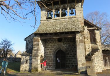
4.2 km | 5.8 km-effort
Monnes-Saut du chien /12
HUGUIES
User
Length
4.6 km
Max alt
704 m
Uphill gradient
126 m
Km-Effort
6.2 km
Min alt
624 m
Downhill gradient
122 m
Boucle
Yes
Creation date :
2021-02-25 13:00:19.66
Updated on :
2021-02-25 14:48:00.153
1h47
Difficulty : Very easy
FREE GPS app for hiking
About
Trail Walking of 4.6 km to be discovered at Occitania, Aveyron, Saint-Symphorien-de-Thénières. This trail is proposed by HUGUIES.
Positioning
Country:
France
Region :
Occitania
Department/Province :
Aveyron
Municipality :
Saint-Symphorien-de-Thénières
Location:
Unknown
Start:(Dec)
Start:(UTM)
472968 ; 4953072 (31T) N.
Comments
Trails nearby
Boucle Bars, château de Vallon, Fraysse
Walking
Medium
(1)
Lacroix-Barrez,
Occitania,
Aveyron,
France
18.6 km | 27 km-effort
4h 58min
Yes
Saint Gervais - Ste Geneviève sur Argence
Road bike
Very difficult
Saint-Symphorien-de-Thénières,
Occitania,
Aveyron,
France
38 km | 47 km-effort
2h 29min
Yes
12_saint_gervais_valon_dilhac_2024
Walking
Very difficult
Saint-Symphorien-de-Thénières,
Occitania,
Aveyron,
France
17.3 km | 25 km-effort
5h 41min
No
12_saint-gervais_valon_2024
Walking
Very difficult
Saint-Symphorien-de-Thénières,
Occitania,
Aveyron,
France
19.3 km | 29 km-effort
6h 41min
No
12_valon_ginolhac_2024
Walking
Very difficult
Lacroix-Barrez,
Occitania,
Aveyron,
France
21 km | 34 km-effort
7h 39min
No
Vallon, les gorges de la Thruyère
Walking
Medium
Lacroix-Barrez,
Occitania,
Aveyron,
France
8.3 km | 13.3 km-effort
2h 41min
Yes
12_campouriez_valon
Walking
Very difficult
Campouriez,
Occitania,
Aveyron,
France
25 km | 37 km-effort
8h 23min
No