


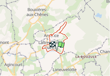

13.3 km | 17.8 km-effort


User


FREE GPS app for hiking
 SityTrail
IGN / Geographical institutes
SityTrail World
The world is yours!
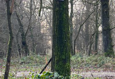
Trail Nordic walking of 9.5 km to be discovered at Grand Est, Meurthe-et-Moselle, Laître-sous-Amance. This trail is proposed by DanielROLLET.
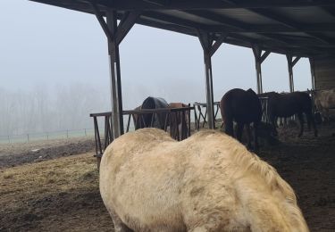
2021 02 25 marche nordique - 5 personnes - Très beau temps mais brumeux.
8h50 à 11h00
Beaucoup de pertes de temps (au moins 15mn)

On foot

Walking

Hybrid bike
Walking
Walking
Walking
Walking
Nordic walking
Nordic walking