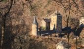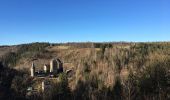

Robertville Barrage-Reinhardstein-Bayehon-Xhoffraix-Walk-Robertville
© OpenStreetMap contributors


3h07
Difficulty : Difficult


Length
10.2 km

Max alt
522 m

Uphill gradient
268 m

Km-Effort
13.7 km

Min alt
413 m

Downhill gradient
267 m
Boucle
Yes
Creation date :
2021-02-24 20:56:04.864
Updated on :
2021-02-24 21:07:23.18
3h07
Difficulty : Difficult

FREE GPS app for hiking
About
Trail Walking of 10.2 km to be discovered at Wallonia, Liège, Waimes. This trail is proposed by Jean-et-claire LABIAUX.
Description
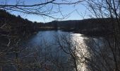
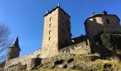
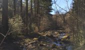
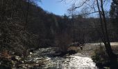
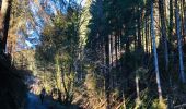
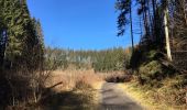
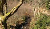
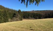
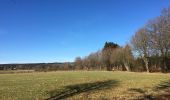
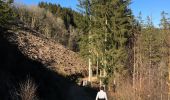
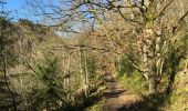
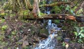
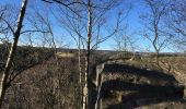
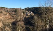
Randonnée facile et très sympathique du barrage au château , descente de la Warche puis remontée du Bayehon et du pouhon jusque Xhoffraix. Une crête au soleil et redescente vers la Warche pour remonter en face vers Walk et le chemin des crêtes vers Robertville en passant par le nez de napoléon
Positioning
Country:
Belgium
Region :
Wallonia
Department/Province :
Liège
Municipality :
Waimes
Location:
Robertville
Start:(Dec)
Start:(UTM)
294868 ; 5592998 (32U) N.
Comments
Trails nearby
RB-Lg-32_Botrange_via-racc-2


Walking
(6)
Waimes,
Wallonia,
Liège,
Belgium

16.7 km | 22 km-effort
5h 4min
Yes
RB-Lg-32_Botrange_via-racc-1


Walking
(7)
Waimes,
Wallonia,
Liège,
Belgium

12.3 km | 15.7 km-effort
3h 34min
Yes

Sourbrodt - Circuit Natura 2000, des sites qui valent le détour - Lg11


Walking
Easy
(8)
Waimes,
Wallonia,
Liège,
Belgium

7.3 km | 8.3 km-effort
1h 50min
Yes

Balade Peak Myrtille avec extension - restaurée


Walking
Medium
(40)
Waimes,
Wallonia,
Liège,
Belgium

4.9 km | 6 km-effort
1h 22min
Yes

Balade Peak Myrtille - restaurée


Walking
Easy
(18)
Waimes,
Wallonia,
Liège,
Belgium

2.7 km | 3.3 km-effort
45min
Yes
2023-11-10_22h16m17_t119964214_sur les versants de la warchenne w10.gpx.xml


Walking
Medium
(2)
Waimes,
Wallonia,
Liège,
Belgium

6.8 km | 8.6 km-effort
1h 57min
Yes
Balade Peak Beer IPA (new)


Walking
Medium
(33)
Waimes,
Wallonia,
Liège,
Belgium

9.7 km | 12 km-effort
2h 43min
Yes


 SityTrail


