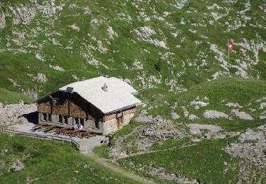
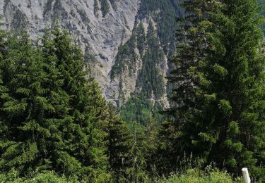
Trail Walking Savièse - Sanetsch - Cabane de Prarochet (circuit) - Photo

Sanetsch - Cabane de Prarochet (circuit)

 duamerg
duamerg

User

© OpenStreetMap contributors
Length
Length
9.5 km
Max alt
Max alt
2550 m
Uphill gradient
Uphill gradient
361 m
Km-Effort
Km-Effort  
14.3 km
Min alt
Min alt
2232 m
Downhill gradient
Downhill gradient
360 m
Boucle
Boucle
Yes
Creation date :
2014-12-11 00:00:00.0
Updated on :
2020-01-30 13:57:44.793

(0 Reviews)

Walking
Walking
3h30
Difficulty : Medium

Scan this QR Code to open this trail in the SityTrail application

FREE GPS app for hiking

Logo SityTrail SityTrail

IGN / Geographical institutes

Download SityTrail from the App Store Download SityTrail from Google Play

Logo SityTrail SityTrail World

The world is yours!

Download SityTrail from the App Store Download SityTrail from Google Play Download SityTrail on Huawei AppGallery

About

Trail Walking of 9.5 km to be discovered at Valais/Wallis, Sion, Savièse. This trail is proposed by duamerg.

Description

A faire par temps sec.
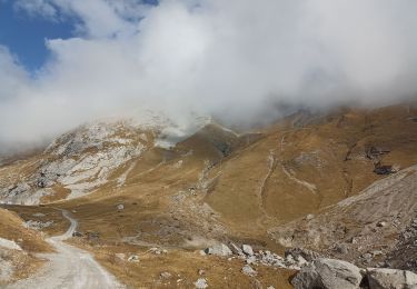
Laisser la voiture au col et suivre les traces. Ne pas bifurquer sur la gauche et continuer vers la langue du glacier.
Montée assez difficile du ruisseau au plateau supérieure.
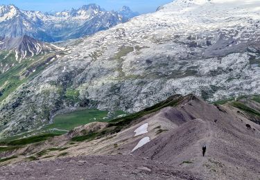
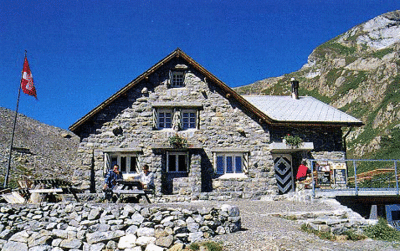
A chacun de trouver son meilleur chemin sur le long plateau parsemé de petits lacs avant d'arriver à la cabane.
Magnifique vue sur le glacier et les Alpes. Panneau explicatif sur l'état alarmant du glacier Tsanfleuron.
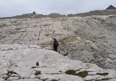
Prendre pour le retour la direction de Derborence avant de retrouver un beau chemin sur les Lapies de Tsanfleuron et l'ancienne moraine.
Très belle course :-)

Elevation profile

Points of interest

Point of interest Savièse - montée difficile - Photo
duamerg

Positioning

Country:
Switzerland
Region :
Valais/Wallis
Department/Province :
Sion
Municipality :
Savièse
Location:
Unknown
Start:(UTM)
368095 ; 5132332 (32T) N.

Trails nearby

Trail Walking Savièse - suuntoapp-Hiking-2024-07-15T05-56-36Z - Photo
Walking
GUIDE
holtzv

Walking

Medium
Savièse, Valais/Wallis, Sion, Switzerland
15 km | 24 km-effort
5h 33min
No
Trail Walking Savièse - Une cabane dans les rochers - Photo
Walking
jeff2

Walking

Medium
Savièse, Valais/Wallis, Sion, Switzerland
3 km | 7.3 km-effort
1h 33min
Yes
Trail Nordic walking Savièse - 25.08.20 Sanetsch - Photo
Nordic walking
suzanne.bron

Nordic walking

Very easy
Savièse, Valais/Wallis, Sion, Switzerland
13.3 km | 20 km-effort
5h 32min
No
Trail Walking Lauenen - Tour du Wildhorn, jour 2 - Photo
Walking
GUIDE+

Walking

Very easy
Lauenen, Bern, Obersimmental-Saanen administrative district, Switzerland
7.1 km | 15.4 km-effort
4h 0min
No
Trail Walking Savièse - Tour du Wildhorn, jour 1 - Photo
Walking
GUIDE+

Walking

Very easy
Savièse, Valais/Wallis, Sion, Switzerland
14.6 km | 28 km-effort
6h 0min
No
Trail Walking Savièse - st_bg_antannes - Photo
Walking
GUIDE+

Walking

Very easy
Savièse, Valais/Wallis, Sion, Switzerland
8.9 km | 19.1 km-effort
Unknown
No
Trail Walking Savièse - st_koreatv08_07 - Photo
Walking
GUIDE+

Walking

Very easy
Savièse, Valais/Wallis, Sion, Switzerland
4.5 km | 8.9 km-effort
1h 37min
No
Trail Walking Savièse - huetten_04 - Photo
Walking
GUIDE+

Walking

Very easy
Savièse, Valais/Wallis, Sion, Switzerland
56 km | 116 km-effort
19h 7min
Yes
Trail Nordic walking Conthey - la standra - Photo
Nordic walking
suzanne.bron

Nordic walking

Very easy
Conthey, Valais/Wallis, Conthey, Switzerland
8.2 km | 12 km-effort
2h 41min
Yes


Close
My subscriptions