


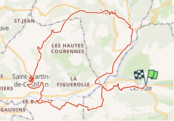

8.1 km | 11.6 km-effort


User


FREE GPS app for hiking
 SityTrail
IGN / Geographical institutes
SityTrail World
The world is yours!
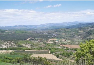
Trail Electric bike of 25 km to be discovered at Provence-Alpes-Côte d'Azur, Vaucluse, Saint-Martin-de-Castillon. This trail is proposed by lviallet.
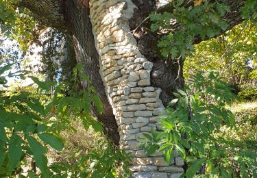
Tranquille et très beau. Resto sympa sur Viens.
Faites le 27/09/18 - 24/02/21
Walking
Walking
Walking
Walking
Walking
Walking
Walking
Walking
Walking