


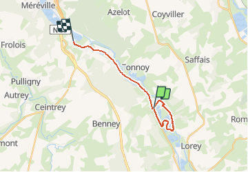

11.7 km | 14.9 km-effort


User


FREE GPS app for hiking
 SityTrail
IGN / Geographical institutes
SityTrail World
The world is yours!
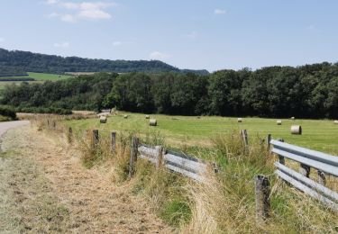
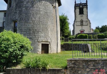
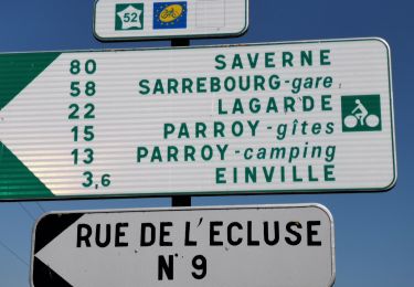
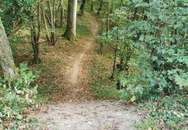
Trail Walking of 17.3 km to be discovered at Grand Est, Meurthe-et-Moselle, Crévéchamps. This trail is proposed by jpbourger.
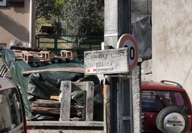
température printanière 18 ° pour un 23 février .Belle rando , retour délicat coté Moselle
Mountain bike
Mountain bike
Mountain bike
Electric bike
Electric bike
Electric bike
Mountain bike

Walking

Road bike