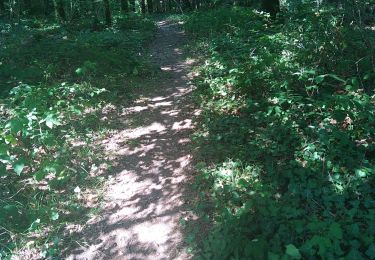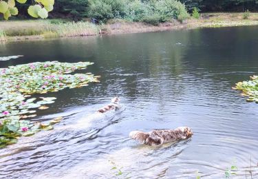

Boucle Escoire, départ de château.

swp648
User

Length
12 km

Max alt
225 m

Uphill gradient
273 m

Km-Effort
15.7 km

Min alt
92 m

Downhill gradient
272 m
Boucle
Yes
Creation date :
2021-02-20 12:49:20.58
Updated on :
2021-02-21 17:14:54.728
3h01
Difficulty : Easy

FREE GPS app for hiking
About
Trail Walking of 12 km to be discovered at New Aquitaine, Dordogne, Escoire. This trail is proposed by swp648.
Description
En passant par Lauterie Basse et Lauterie Haute, petite montée abrupte de 200m entre ces 2 villages.
Beau point de vue sur le château des Bories du haut du village d'Escoire.
Positioning
Country:
France
Region :
New Aquitaine
Department/Province :
Dordogne
Municipality :
Escoire
Location:
Unknown
Start:(Dec)
Start:(UTM)
330834 ; 5008187 (31T) N.
Comments
Trails nearby

Lanmary variente 1


Walking
Medium
(1)
Antonne-et-Trigonant,
New Aquitaine,
Dordogne,
France

8.4 km | 10.4 km-effort
2h 52min
Yes

Le Change Roc 9km


Walking
Very easy
(1)
Bassillac et Auberoche,
New Aquitaine,
Dordogne,
France

9.3 km | 12.2 km-effort
2h 43min
Yes

Le Change Pommiers 9km


Walking
Easy
(1)
Bassillac et Auberoche,
New Aquitaine,
Dordogne,
France

9 km | 11.3 km-effort
2h 32min
Yes

Les chabannes


On foot
Easy
Bassillac et Auberoche,
New Aquitaine,
Dordogne,
France

6.3 km | 8.2 km-effort
1h 52min
Yes

Lanmary Sibaudie à l'envers


Nordic walking
Very easy
(2)
Antonne-et-Trigonant,
New Aquitaine,
Dordogne,
France

11.8 km | 15.1 km-effort
2h 51min
Yes

Lanmary 8,7 km


Nordic walking
Easy
(1)
Antonne-et-Trigonant,
New Aquitaine,
Dordogne,
France

8.7 km | 10.5 km-effort
1h 58min
Yes

lanmary 9.7


Nordic walking
Very easy
(1)
Antonne-et-Trigonant,
New Aquitaine,
Dordogne,
France

9.8 km | 12.2 km-effort
2h 13min
Yes

lanmary 11 km


Nordic walking
Very easy
(1)
Antonne-et-Trigonant,
New Aquitaine,
Dordogne,
France

11.1 km | 13.7 km-effort
2h 39min
Yes

Croix du Rat


Nordic walking
Very easy
(1)
Antonne-et-Trigonant,
New Aquitaine,
Dordogne,
France

10.8 km | 13.4 km-effort
2h 28min
Yes


 SityTrail


